On this page:
About the park
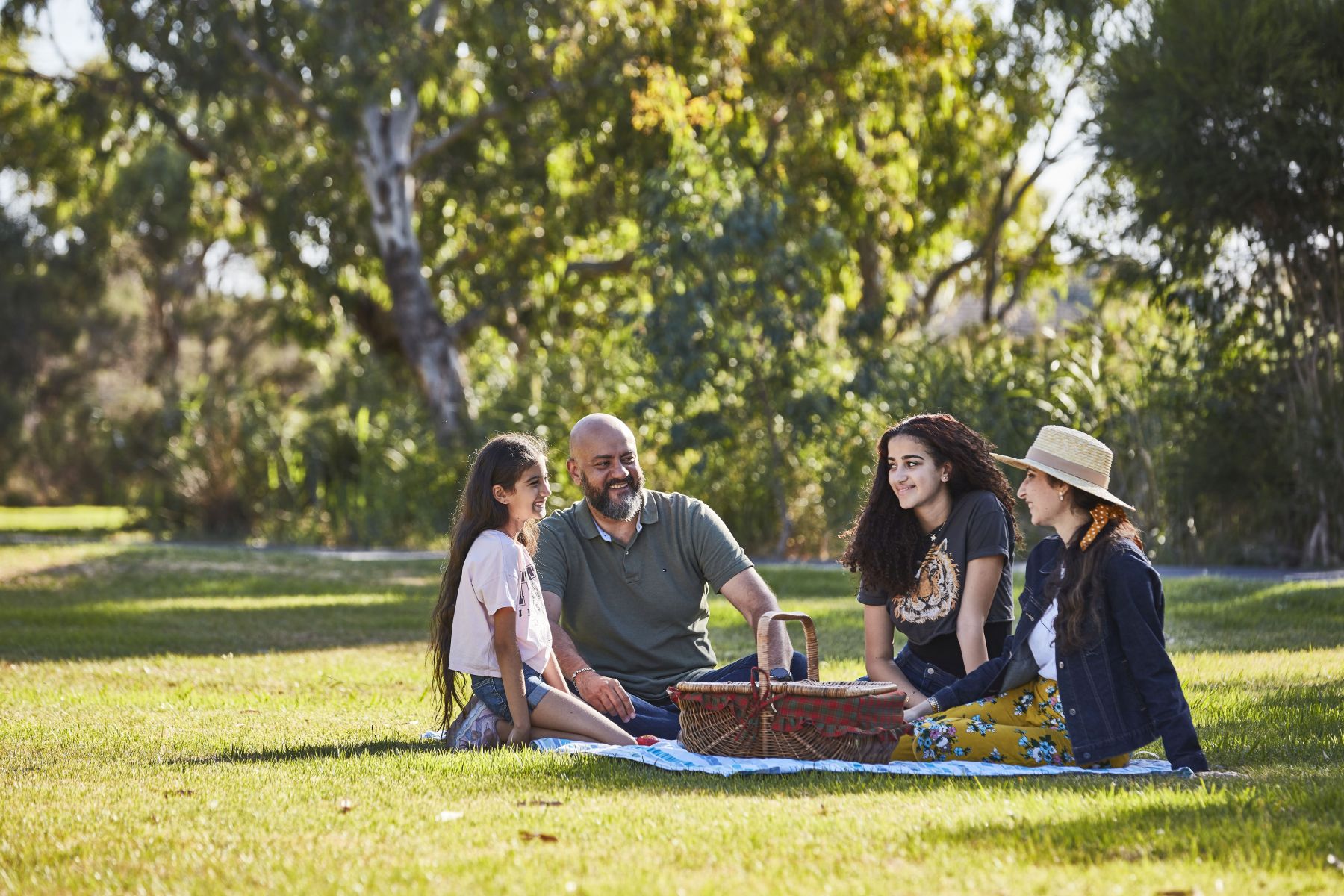
The new 120-hectare park will be an exciting new destination for communities in and around Clyde.
The park will be located in an area adjacent to existing habitat for endangered species. The new open space will create opportunities to protect biodiversity in the area while improving liveability for local communities.
Where will the park be located?
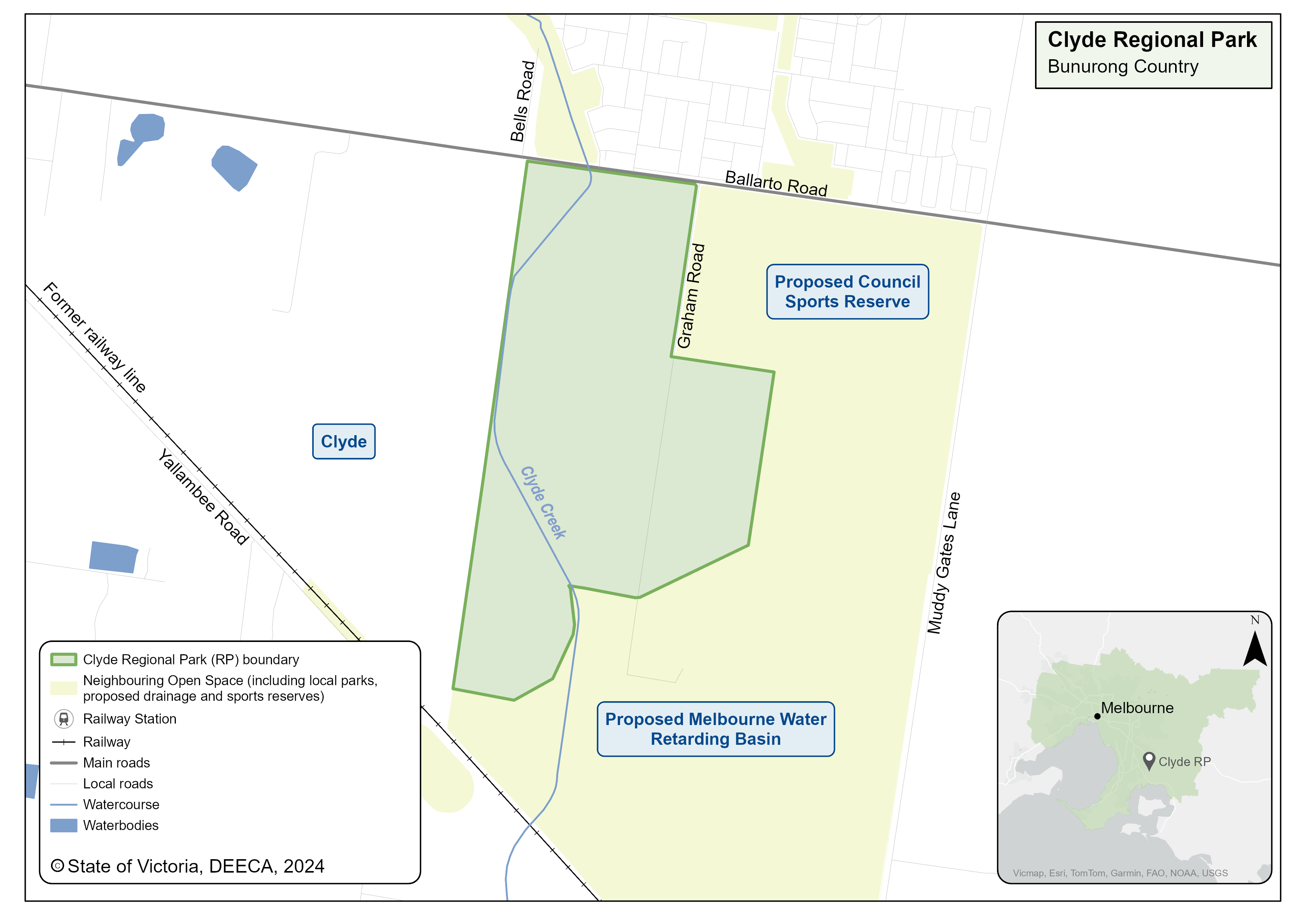
The park will be located to the east of Clyde in Melbourne’s eastern suburbs on Bunurong Country.
It will be co-located with the Clyde Park Sports Precinct and Melbourne Water’s proposed drainage basin.
Clyde Regional Park map

Timeline
-
Government commitment to create a ring of parkland around Melbourne
November 2018
-
Planning phase
2019 to 2022
-
Community consultation - stage 1
May to July 2021
-
Community consultation - stage 2
April to May 2022
-
Final strategic directions plan
May 2023
-
Acquire all land and transfer to Parks Victoria
January 2024
See the Parks Victoria web page for details on the next steps.
More information
Follow project progress and community engagement for Clyde Regional Park on the Parks Victoria web page.
For a factsheet, contact the Suburban Parks Program team.
Page last updated: 03/12/24