On this page:
About the park
This new 215-hectare park will be an exciting new destination for communities in and around Caroline Springs and Deanside. The park will be a large, open grassland area that provides a protected habitat for native plants and animals in suburban Melbourne while improving liveability for local communities.
There will also be a 45-hectare conservation area beside the new park in future years.
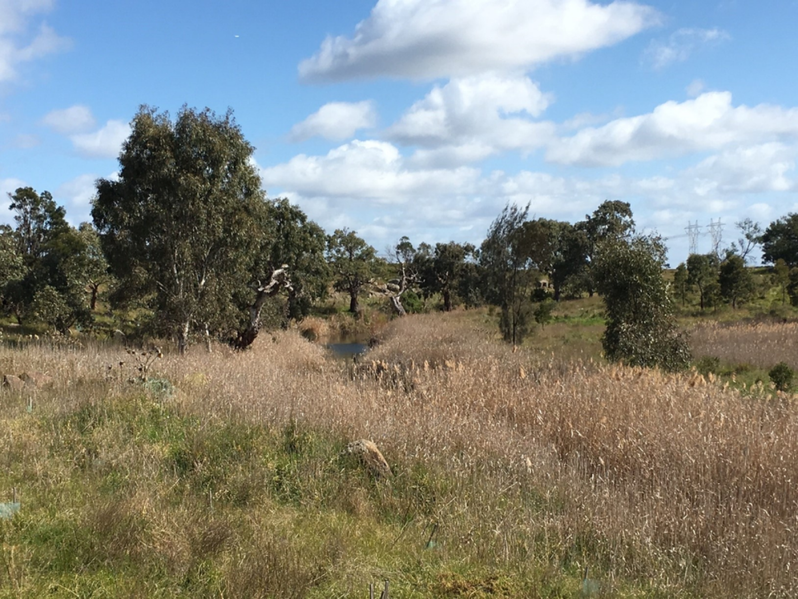
The area of the Kororoit Creek Regional Park includes Federally recognised conservation areas with some of the best-remaining habitats and wildlife corridors for endangered species, including the growling grass frog, striped legless lizard, rare moths and flowers, and important remnant grasslands.
Where will the park be located?
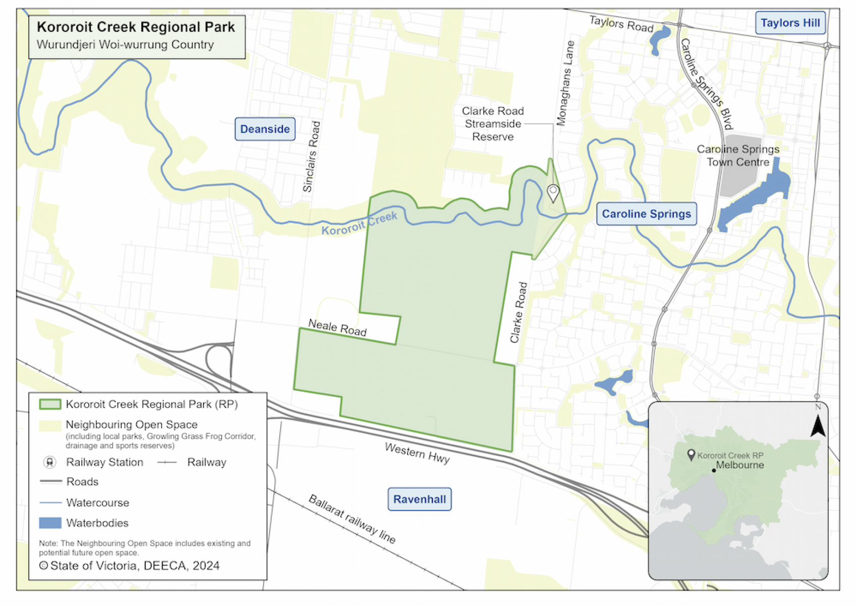
The park will be located between Deanside, Caroline Springs and Ravenhall in Melbourne’s north-west on the lands of the Wurundjeri Woi-wurrung People. It will be easy to access for residents and connect growing communities in surrounding areas.
Kororoit Creek Regional Park map
Timeline
-
Government commitment to create a ring of parkland around Melbourne
November 2018
-
Planning phase
2019 to 2022
-
Community consultation - stage 1
May to June 2021
-
Community consultation - stage 2
April to May 2022
-
Start to acquire land
July 2022
-
Final strategic directions plan
May 2023
-
Acquire all land and transfer to Parks Victoria
2024
View the Parks Victoria webpage for details on the next steps.
More information
For a fact sheet, contact the Suburban Parks Program team.
Page last updated: 10/09/24