On this page:
About the park
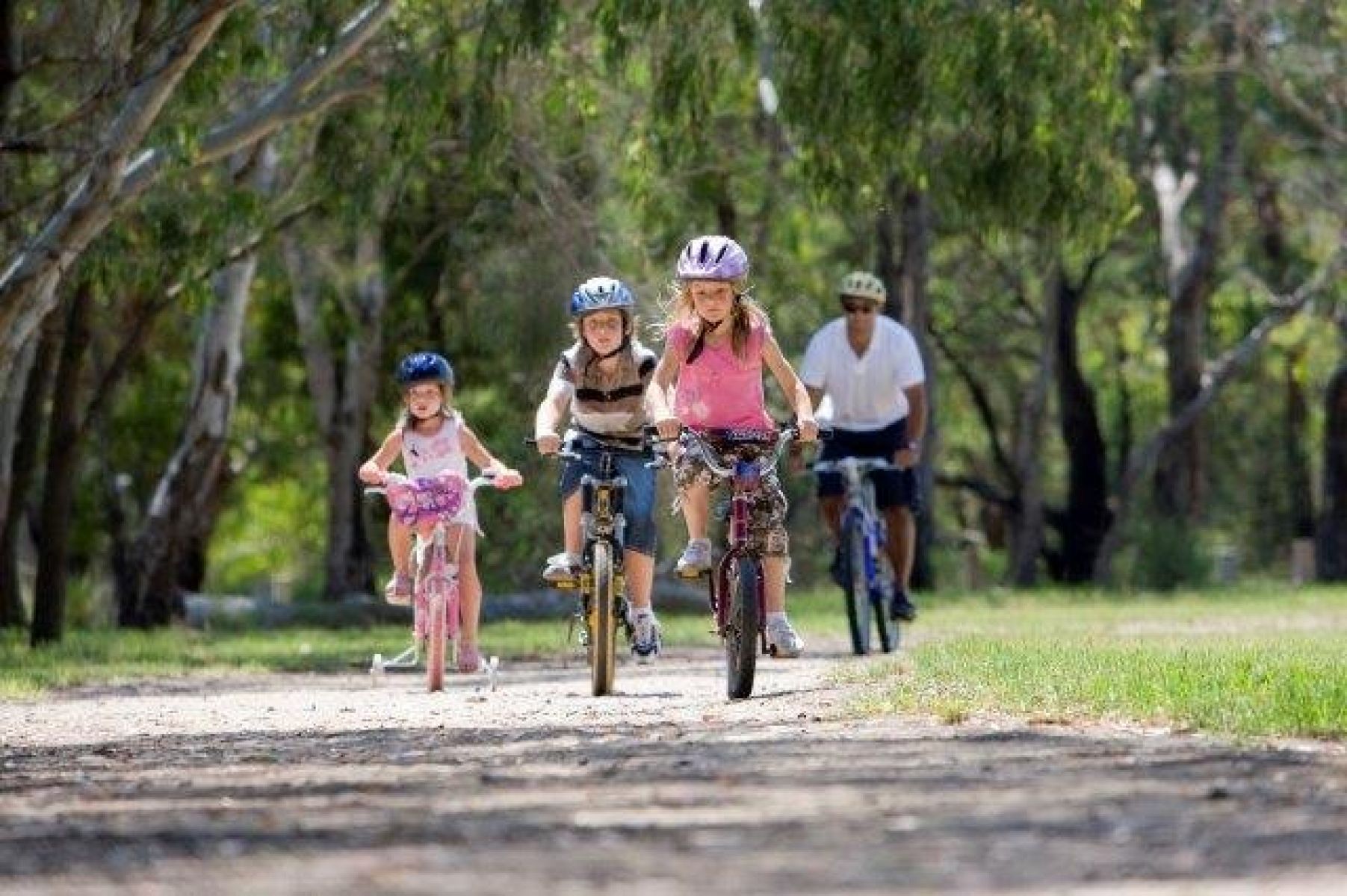
The new 340 hectare park will be an exciting new destination for communities in the Tarneit and Wyndham Vale areas.
The park will be a large, open grassland area. It will:
- provide habitat for native plants and animals in suburban Melbourne
- improve liveability for growing communities.
The Werribee Township Regional Park will be located on the unique grasslands of the Victorian volcanic plain. The park will include habitat that may be suitable for:
- growling grass frog
- striped legless lizard
- golden sun moth
Where will the park be located?
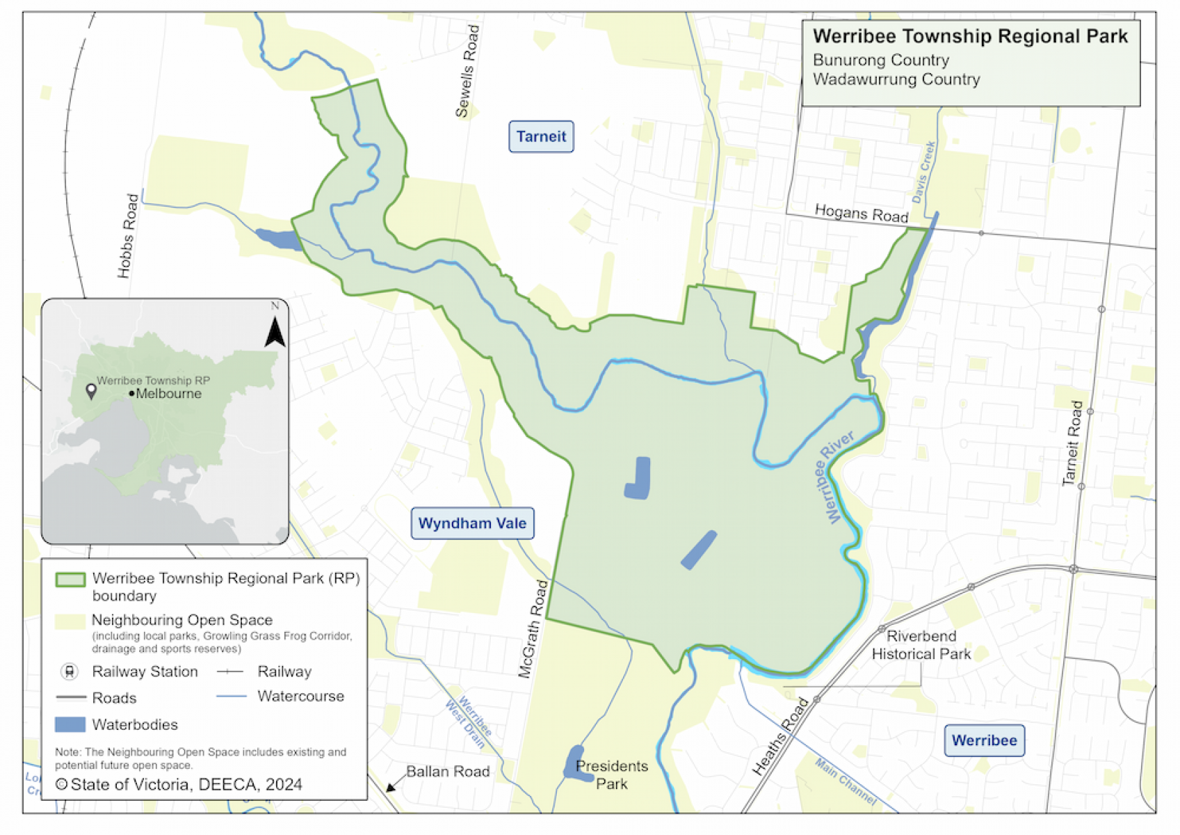
The park will be located along the banks of the Werribee River at Tarneit and Wyndham Vale. This is on Bunurong and Wadawurrung Country.
It will be co-located with existing open space, including Presidents Park. Together it will create a large community space for relaxation and activities along the Werribee River.
Werribee Township Regional Park map
When will the park open?
There is currently no public access to the future site of Werribee Township Regional Park.
The Victorian Government has acquired private land to create the park. Parks Victoria has started clean-up, including removing sheds, and installing secure fencing.
Parks Victoria is leading the planning and consultation that will inform future investment.
More information
A fact sheet about the project is available to download.
For more detailed project updates, visit the Parks Victoria web page or contact Parks Victoria.
Page last updated: 28/08/25