On this page:
About the project
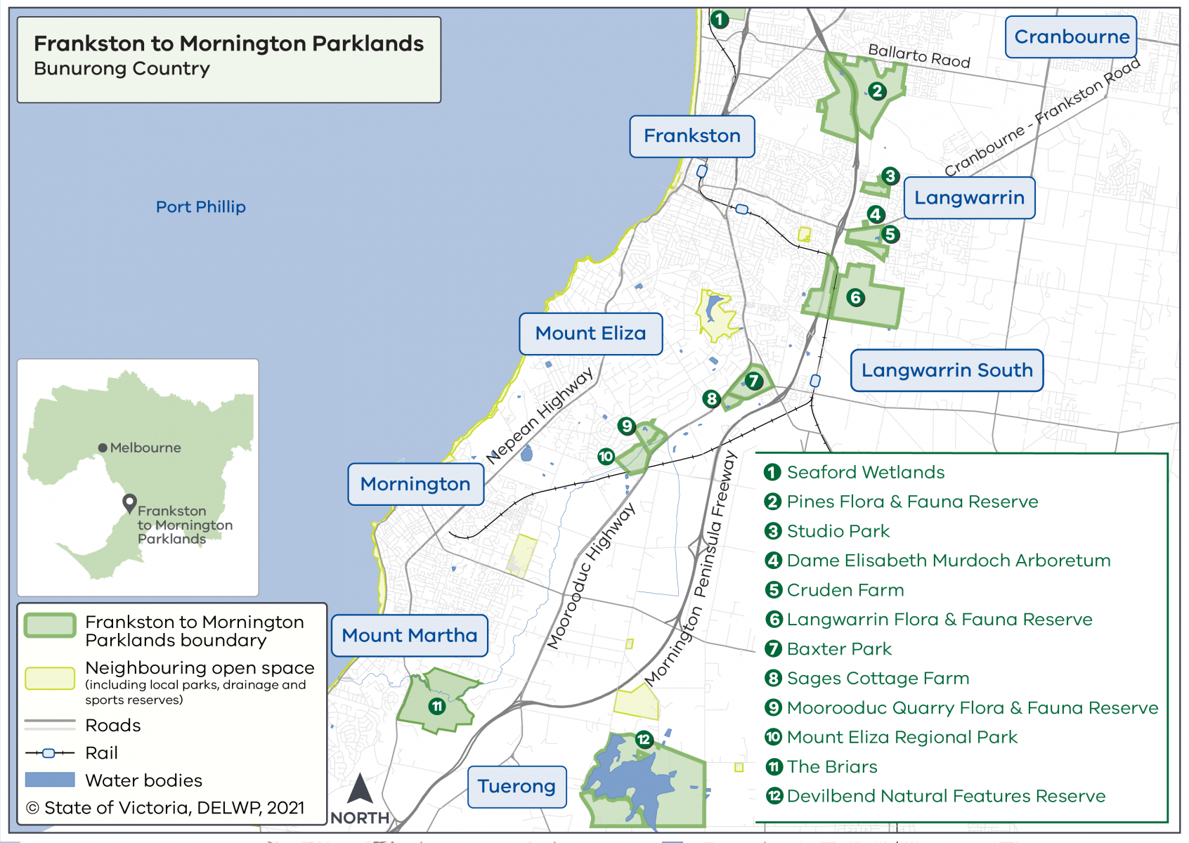
The Frankston to Mornington Parklands Project created a Future Directions Plan as a guide for the Department of Energy, Environment and Climate Action (DEECA) and partner organisations, to identify opportunities to connect existing parks and reserves, from Seaford to Mount Martha on the Mornington Peninsula on Bunurong Country.
The Future Directions Plan also identifies opportunities to improve physical, cultural and ecological connections along the existing Peninsula Link Trail.
Implementation of the Frankston to Mornington Future Directions Plan is subject to further funding, extensive planning and consultation with local partner organisations and the community.
Frankston to Mornington Parklands Future Directions Plan area
When can I visit the parklands?
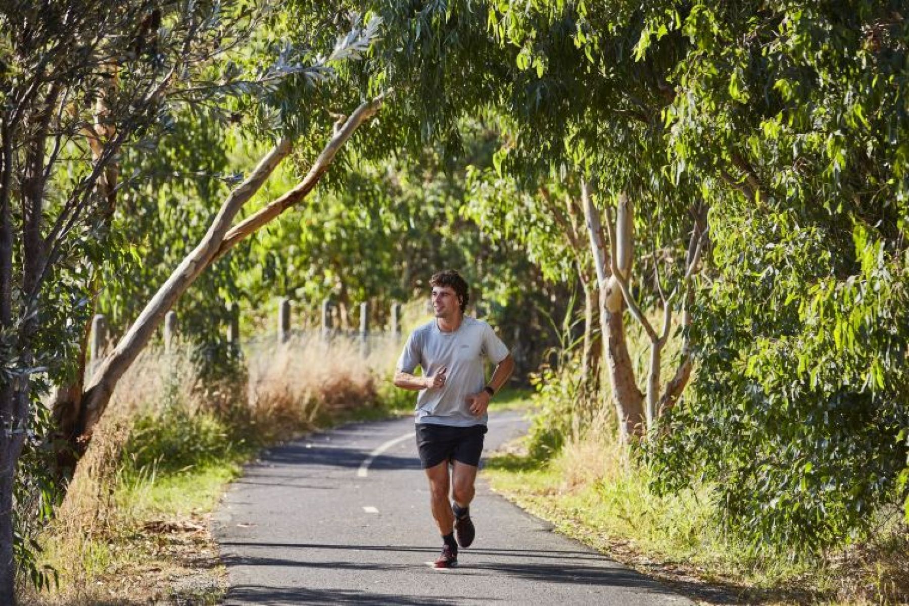
All the parks and reserves in the Future Directions Plan are open for the community to enjoy now. The Future Directions Plan is a guiding document to support partners in planning future investment that links these existing parks and reserves.
Implementation of the Frankston to Mornington Future Directions Plan will be subject to identification of further funding by project partners and extensive planning and community consultation.
Timeline
-
Government commitment to create a ring of parkland around Melbourne
November 2018
-
Cultural values study completed by Bunurong Land Council Aboriginal Corporation
Completed Mid 2022
-
Community consultation
Completed May – June 2022
-
Future Directions Plan
Completed late 2022
More information
To request a fact sheet, contact the Suburban Parks Program team.
Page last updated: 11/12/25