Expanding and protecting parklands for communities in Melbourne’s outer northern suburbs.
On this page:
About the parklands
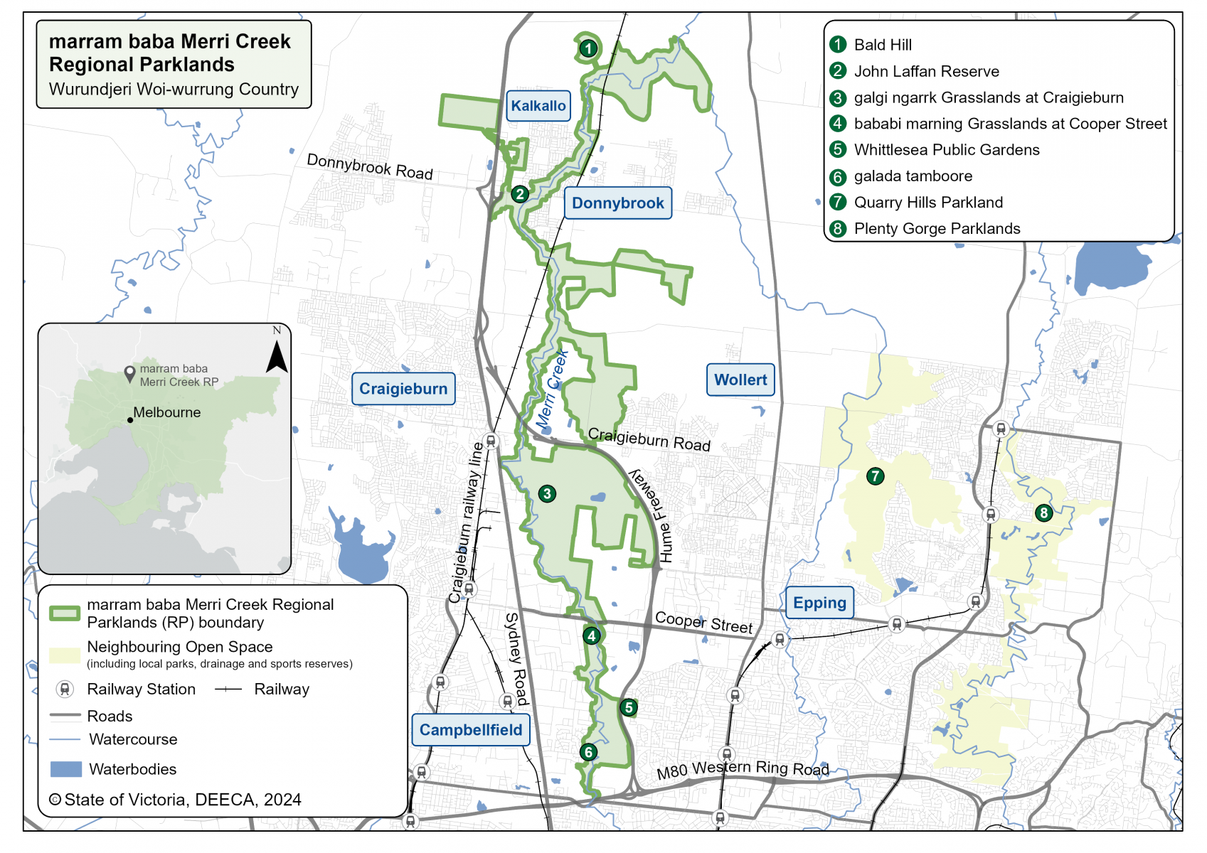
The marram baba Merri Creek Regional Parklands will cover more than 2,700 hectares of parkland from Campbellfield to Beveridge.
It will give people in Melbourne's growing north more open space to enjoy nature. It will also help protect plants and animals and important cultural places.
The marram baba Merri Creek Regional Parklands Future Directions Plan 2023 sets out how the park will be developed. It outlines how the parklands will protect biodiversity and cultural heritage, and provide new facilities.
The parklands will include walking and cycling paths, viewing platforms and picnic areas. The plan guides the future of the parklands to 2050.
The Future Directions Plan was informed by the marram baba Merri Creek Regional Parklands Wurundjeri Woi-wurrung Cultural Values Position Statement (2023).
This was written by the Wurundjeri Woi-wurrung Cultural Heritage Aboriginal Corporation Research Unit and Wurundjeri Woi-wurrung Elders.
The Position Statement documents historical and cultural associations, traditional land use, and the significance of the parklands. It provides recommendations for managing cultural values and embedding Wurundjeri Woi-wurrung perspectives into the Parklands.
The name marram baba means 'body of mother' in the Wurundjeri Woi-wurrung language. The Wurundjeri Woi-wurrung are the Traditional Custodians of this land.
The parklands will link existing open space including:
galada tamboore
galgi ngarrk Grasslands
bababi marning Grasslands
Whittlesea Public Gardens
John Laffan Reserve
Kalkallo and Curly Sedge Creeks.
When completed, the parklands will be among the biggest in Melbourne. It will expand the Merri Creek trail that begins at the Yarra River.
Where are the parklands located?
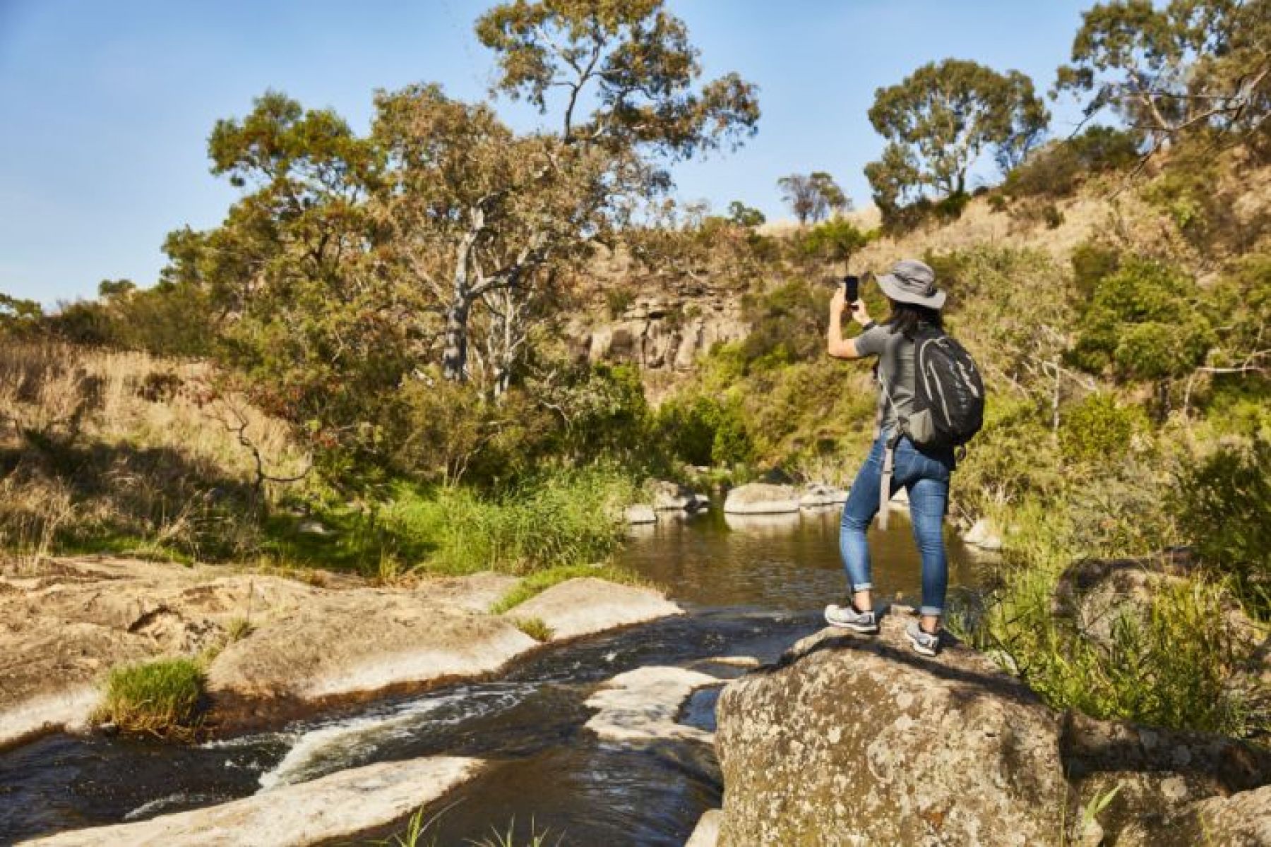
The parklands run along Merri Creek about 30 kilometres north of Melbourne’s CBD. The parklands are on the land of the Wurundjeri Woi-wurrung People.
Some areas of the parklands are open for visitors. Other areas are closed to protect important natural and cultural values, and some areas are still being planned.
Enjoy these parkland areas
galada tamboore means ‘creek waterhole’ in Wurundjeri Woi-wurrung language. It is an important place for the Wurundjeri Woi-wurrung people.
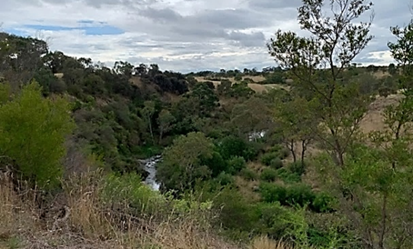
This area was formed over a million years ago as Merri Creek cut through the volcanic plain. The erosion created a landscape of cliffs, grasslands and native scrub. It also acts as a natural retarding basin to help with flood control.
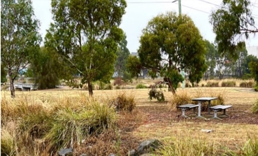
The reserve is located just north of the Metropolitan Ring Road in Campbellfield. You can walk or ride on the Merri Creek trail running through the park. There are places to relax, play, exercise and enjoy nature. You can get in from:
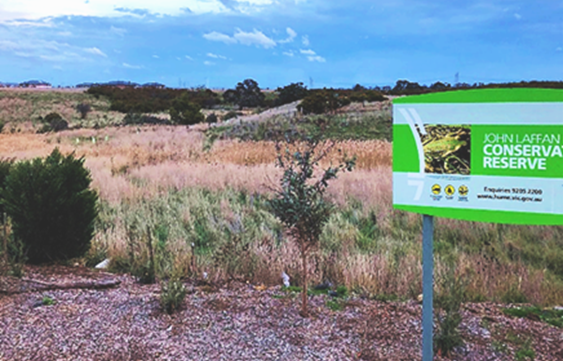
Also known as Donnybrook Reserve, John Laffan Reserve has sports ovals and a pavillion for the local community.
It is the place where Merri Creek and Kalkallo Creek meet. It includes a conservation area which provides habitat for native animals. It is an area of cultural significance for the Wurundjeri Woi-wurrung people.
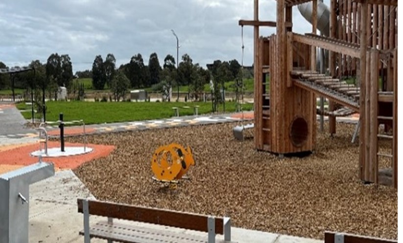
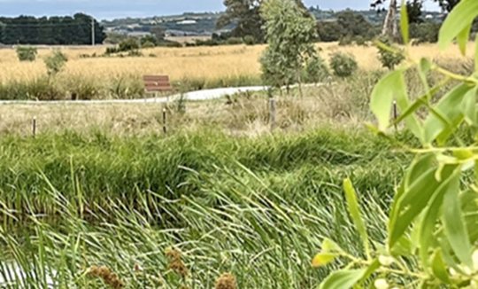
The wetlands help clean stormwater and provide habitat for birds and aquatic life, including the vulnerable Growing Grass Frog. Visitors can walk around the wetlands and enjoy the children's play space at Quill Reserve next door.
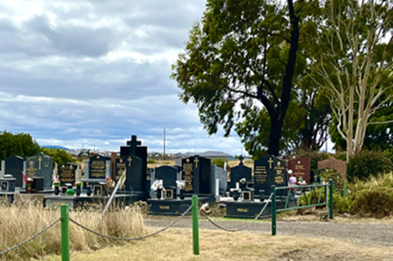
Donnybrook Cemetery (also known as Kalkallo Cemetery) dates back to the late 1890s.
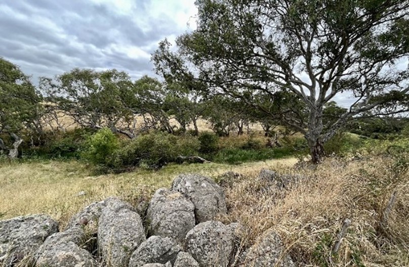
Surrounding Donnybrook Cemetery are remnant volcanic plain grasslands. Known as the Kalkallo Commons Grasslands, this area is an important conservation area.
Most of the grasslands are closed to the public to protect the habitat, but visitors can see them from the cemetery. South of the cemetery there area rocky outcrops created by the volcanic activity.
There is a large playground for family fun. The park also links to the Merri Creek corridor with views of Bald Hill in the distance. Porto Kallo wetlands, which treats stormwater, is next door.
This conservation reserves nationally significant native plains grassland. The name means 'mother’s hand' in Wurundjeri Woi-wurrung language. It is culturally significant for the Wurundjeri Woi-wurrung people.
The reserve protects the endangered grassland habitat of the rare Golden Sun Moth and Striped Legless Lizard.
galgi ngarrk (previously Craigieburn Grasslands) is the largest reserve within the Parklands. It covers around 400-ha of significant native grasslands. The name means ‘back bone’ in Wurundjeri Woi-wurrung language. The area is culturally significant to the Wurundjeri Woi-wurrung People.
The reserve provides grassland habitat for many endangered species, including:
Matted Flax Lily
Curly Sedge
Striped Legless Lizard
Plains Wanderer
Golden Sun Moth
Growling Grass Frog.
Due to these high biodiversity values, public access is restricted.

