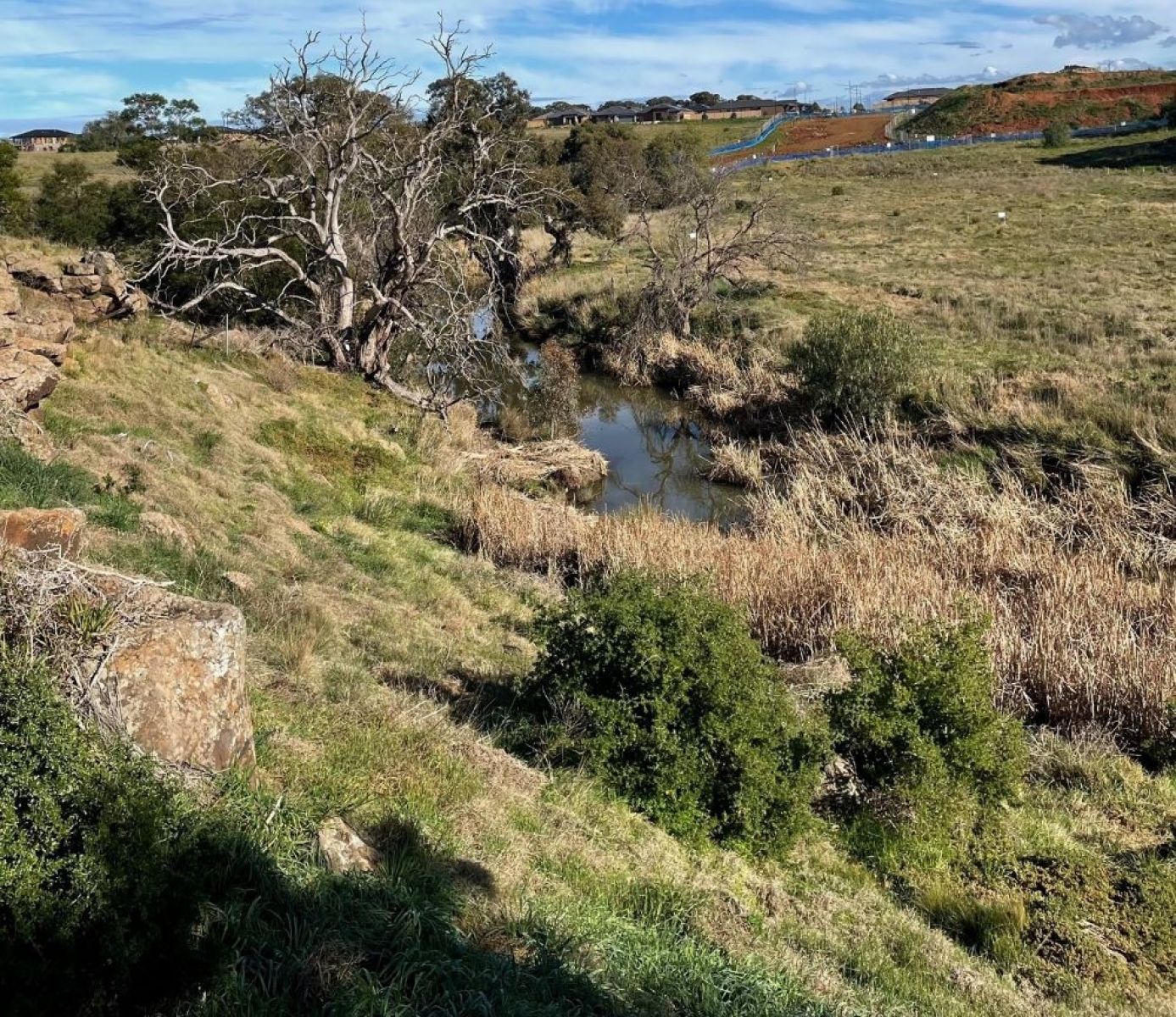
On this page:

About the park

The updated Strategic Directions Plan for the 110-hectare park considers ways to improve park access and amenities, identifies opportunities for infrastructure upgrades, and protections for native plants and endangered animals. This includes critical habitats for the growling grass frog.

Parks Victoria is leading the project, and the park is currently managed by Melton City Council. Initial infrastructure upgrades are being completed by Melton City Council.

Further infrastructure upgrades to the park are subject to further funding and will be over several years and involve stages of community consultation.

Toolern creek landscape

Where is the park located?

Toolern Creek Regional Park is three kilometres south of Melton in Melbourne’s growing north-west, about 35 kilometres from Melbourne’s CBD,  on Wurundjeri Woi-wurrung Country.

toolern creek landscape map

When can I visit the park?

Toolern Creek Regional Park is open for visitors to enjoy today.  Additional infrastructure works will be delivered in stages and open to the public when completed.

Further upgrades are subject to additional funding over the coming years.

Timeline

  1. Government commitment to create a ring of parkland around Melbourne

    November 2018

  2. Planning phase

    Completed between 2019-2022

  3. Community consultation

    Completed between May - July 2021

  4. Final masterplan

    Released June 2023

  5. Initial works

    Mid 2025

More information

For a fact sheet, contact the Suburban Parks Program team.

To view the updated Strategic Directions Plan, visit the Engage Victoria website

Page last updated: 30/05/24