
On this page:
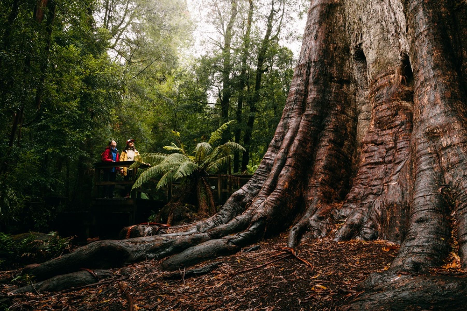
Rubicon Heritage Walk and Dam Walk
Distance from Melbourne: 2 hours, north-east
Location: Rubicon Valley Historic and Cultural Features Reserve (within Rubicon State Forest) on Taungurung Country
Distance: 3.9km return (Heritage Walk) and 11.6km (Dam Walk)
Walk difficulty: Grade 3 -Bushwalking experience recommended
Enjoy a glorious mix of heritage and nature on the 3.9km Rubicon Heritage Walk. You’ll wind through lush mountain ash and cool temperate rainforest, cross an impressive timber trestle bridge, look inside a small heritage-listed sawmill and walk along the aqueduct that feeds the Royston power station.
Or extend your walk to the Rubicon Dam. This track follows the aqueduct and is wide and relatively flat. You’ll pass smaller wooden trestle bridges before arriving at the dam wall. Walk along the same track to rejoin the heritage loop track at the power station.
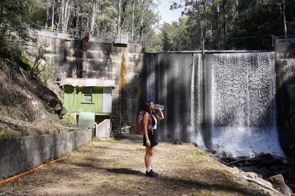
- Enjoy the view of the cascading water along the Rubicon Heritage Dam Walk
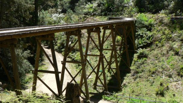
- See remnants of the area's timber harvesting heritage, like this trestle bridge
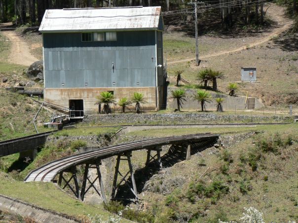
- Follow the tramway as it takes you past historic sites on the way to the Rubicon Power Station
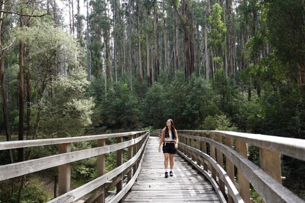
- Walk across a heritage trestle bridge on this heritage loop walk
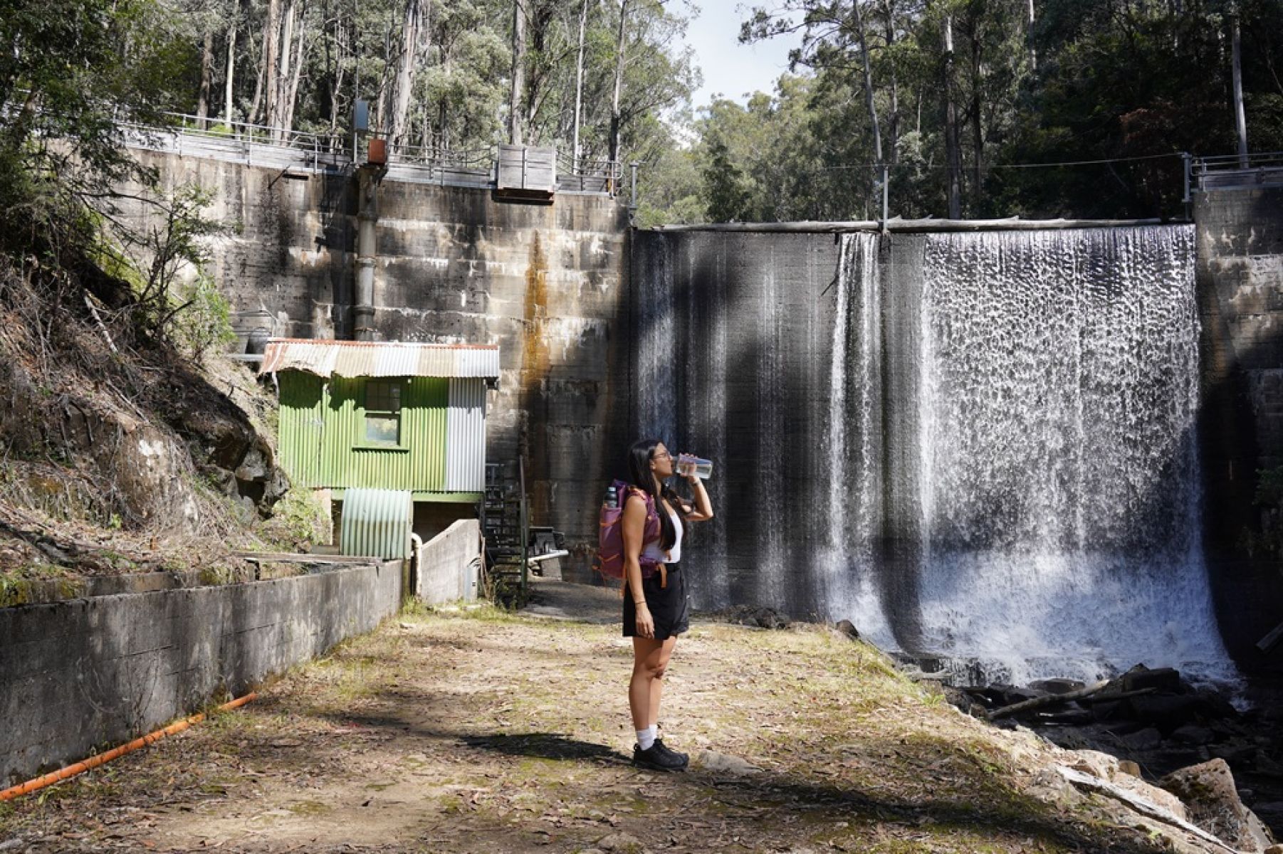
Enjoy the view of the cascading water along the Rubicon Heritage Dam Walk
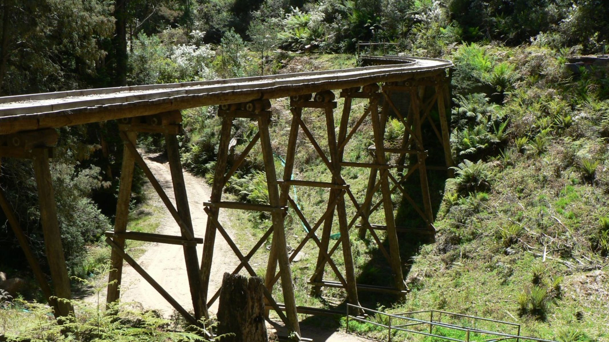
See remnants of the area's timber harvesting heritage, like this trestle bridge
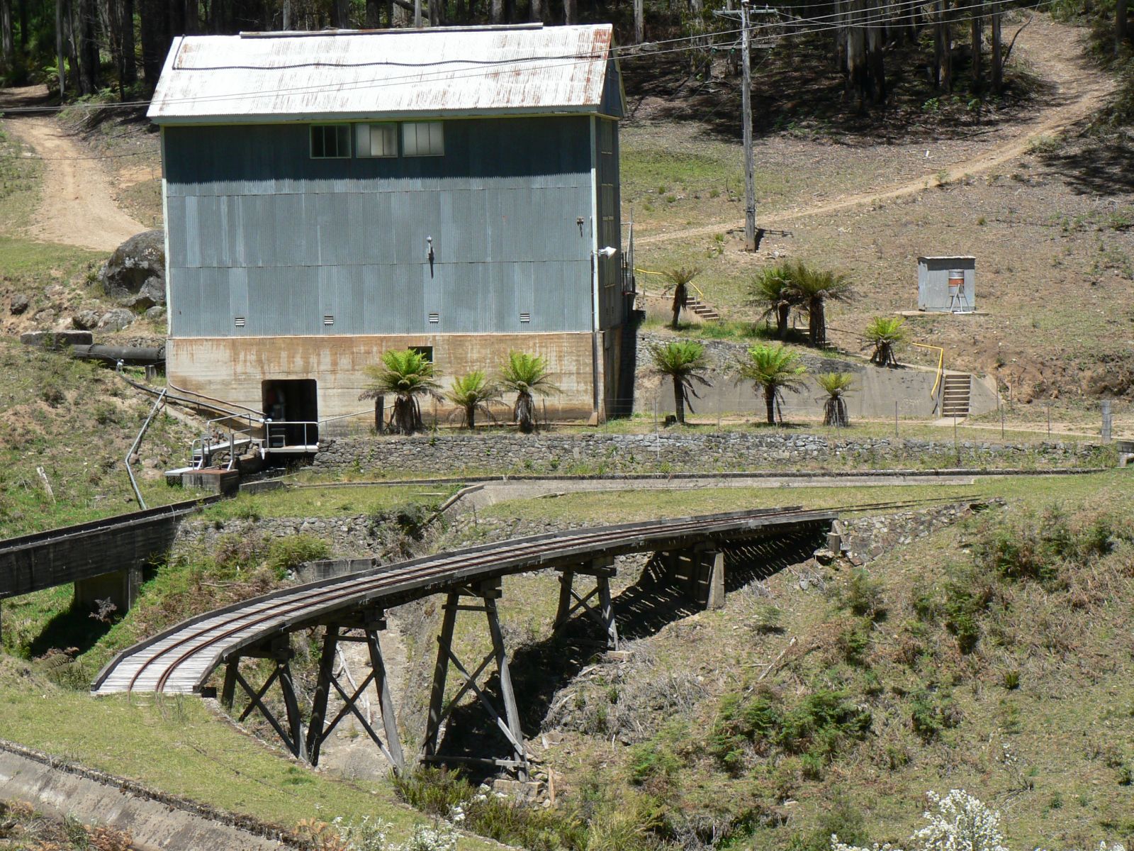
Follow the tramway as it takes you past historic sites on the way to the Rubicon Power Station
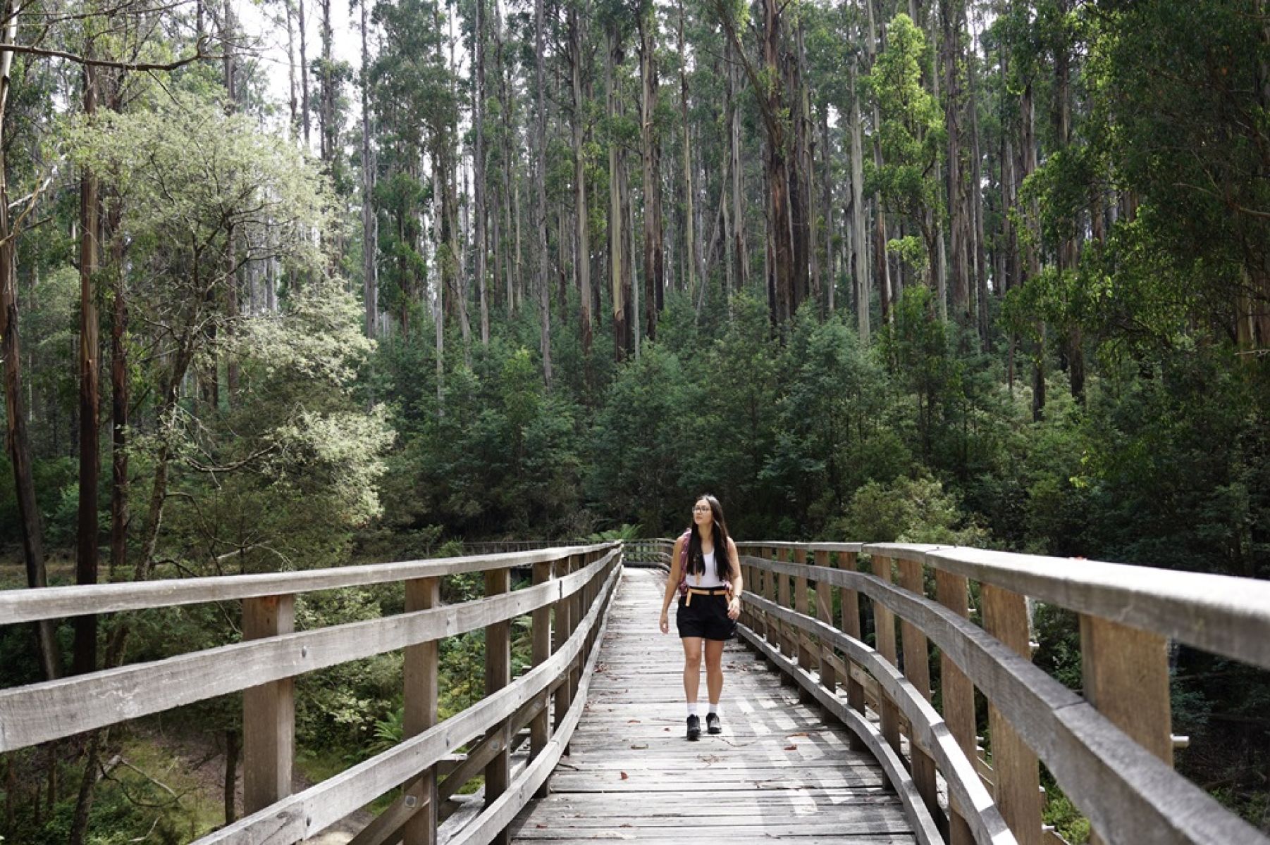
Walk across a heritage trestle bridge on this heritage loop walk
Ada Tree Walk
Wurundjeri Country
Distance from Melbourne: 2 hours east
Location: Ada Tall Trees Reserve
Distance: 3.6km return
Walk difficulty:Grade 3 - Bushwalking experience recommended
Visit the Ada Tree, one of Victoria's largest trees standing at 76 metres tall and more than 300 years old. The tree sits along the Ada Tree Walk, a 3.6 km loop walk that will take you past beautiful groves of ancient myrtle beech, sassafras and tree ferns.
This walk is surrounded by the Latrobe State Forest and is one of the stops along the Walk into History walk.
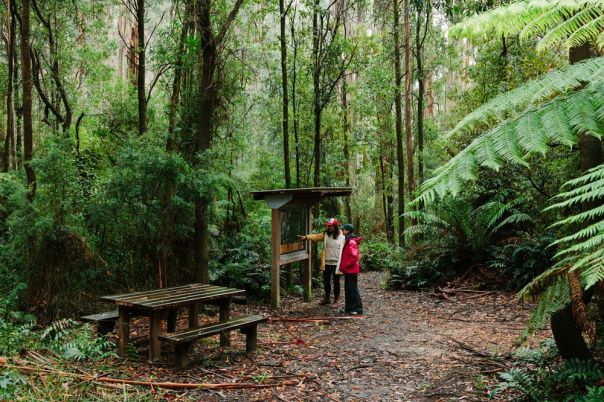
- Ada tree walk information board
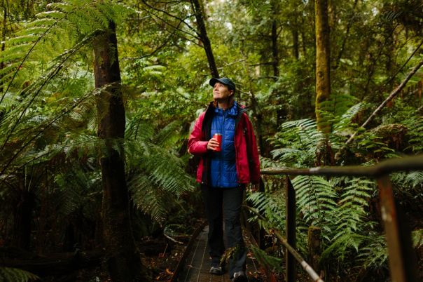
- Ada tree boardwalk in the forest.
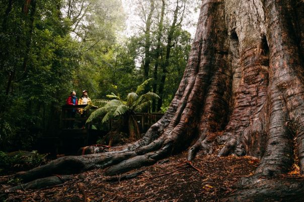
- The magnificent Ada tree up close
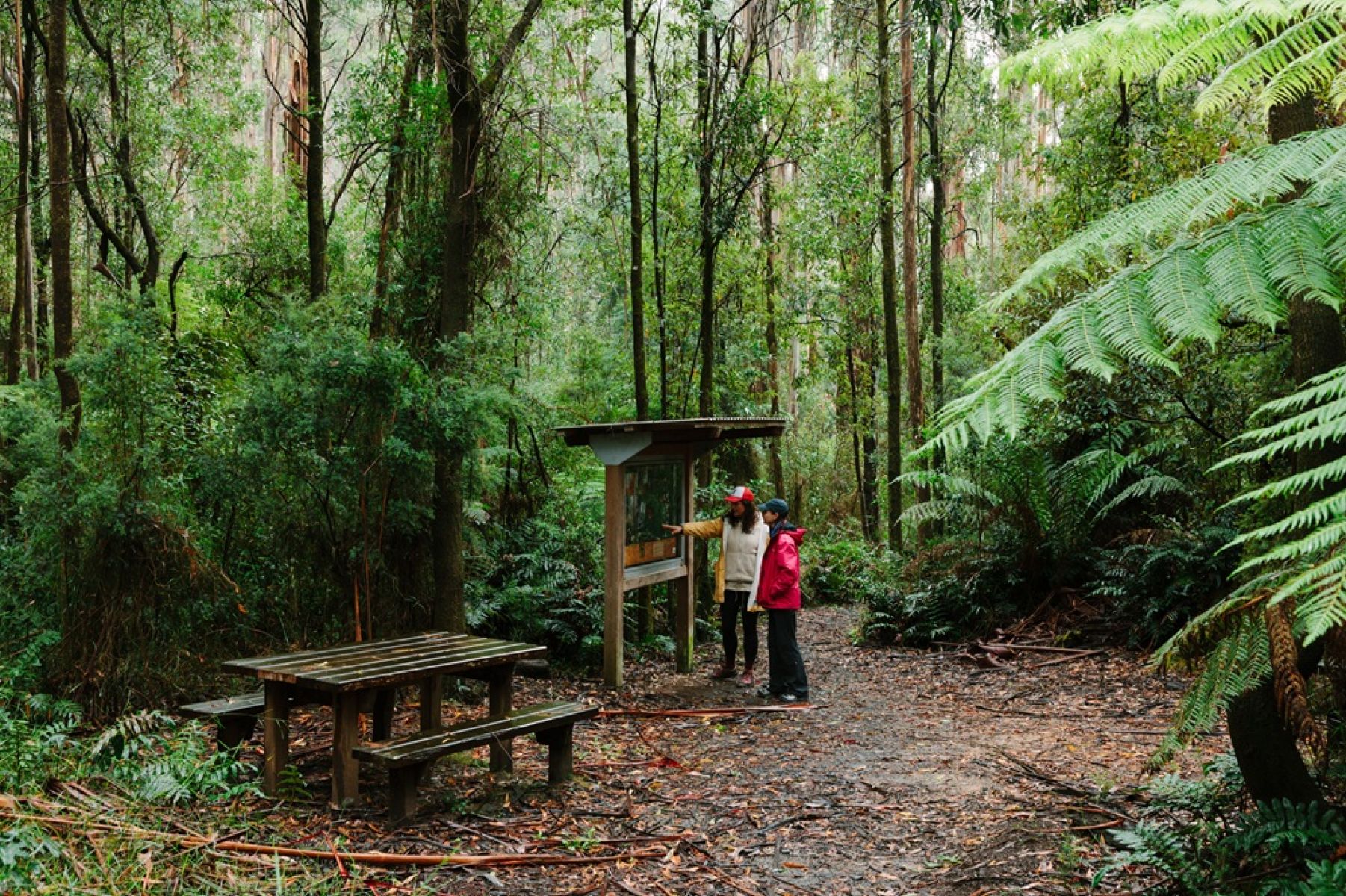
Ada tree walk information board
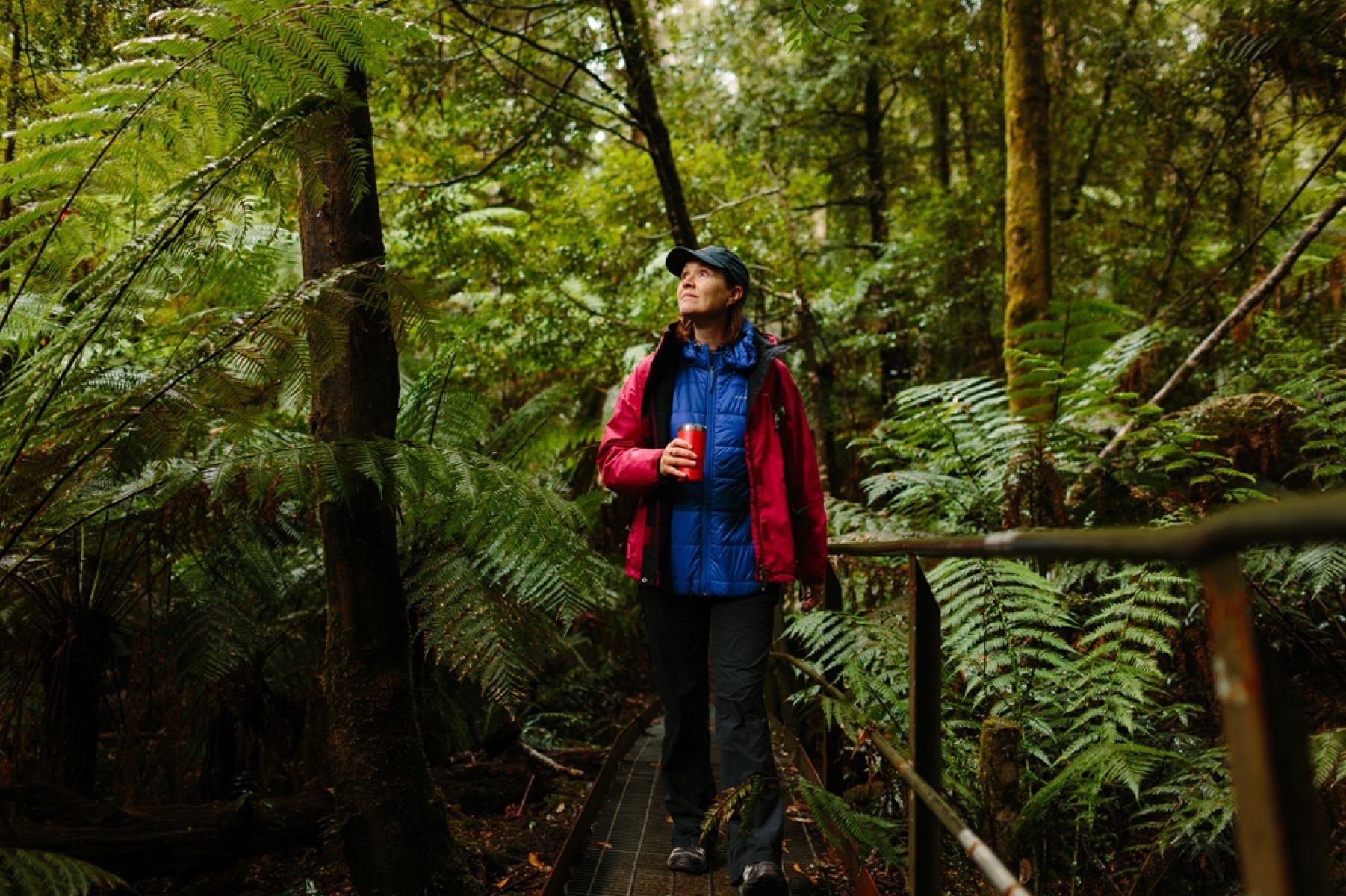
Ada tree boardwalk in the forest.
The magnificent Ada tree up close
New Federal Mill Walk
Distance from Melbourne: 2 hours east
Location: Latrobe State Forest on Wurundjeri Country
Distance: 2.5 km one way
Walk difficulty: Grade 3- Bushwalking experience recommended
Starting from the Ada Tree extend your walk along the New Federal Mill Walk through lush damp forest of tree ferns and towering Mountain Ash to the historic Federal Mill site. Operated by the Federal Timber Company from 1922-1934, it features remnants of the old timber tramways that serviced the sawmills.
Download More to Explore for details about this walk.
- New Federal Mill Walk
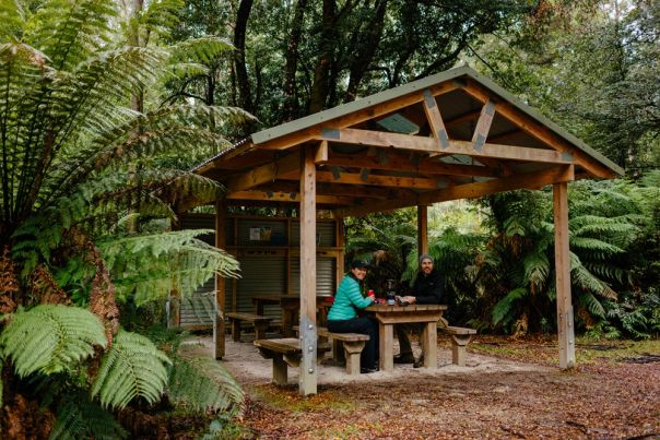
- Federal Mill shelter
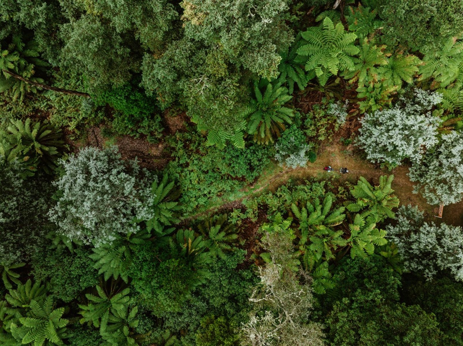
New Federal Mill Walk
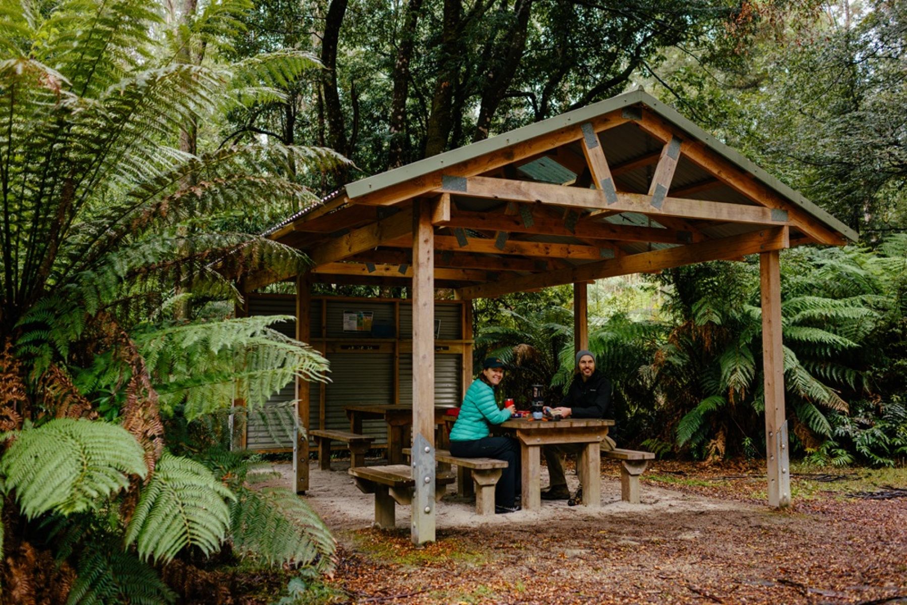
Federal Mill shelter
Reids Tramline
Distance from Melbourne: 1 hour 40 minutes east
Location: Yarra State Forest on Wurundjeri Country
Distance: 6.2km return
Walk difficulty: Grade 4
Discover more of Victoria’s timber harvesting past along the 6.2km Reids Tramline Walk, starting from Powelltown — about 25 minutes from Warburton.
This circuit traces the path of an historic tramline once used to haul logs from the forest, powered initially by horses and later steam locomotives.
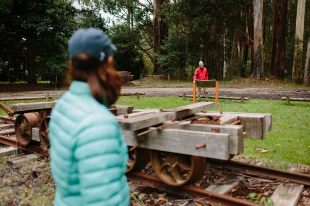
- Historical sawmill relics
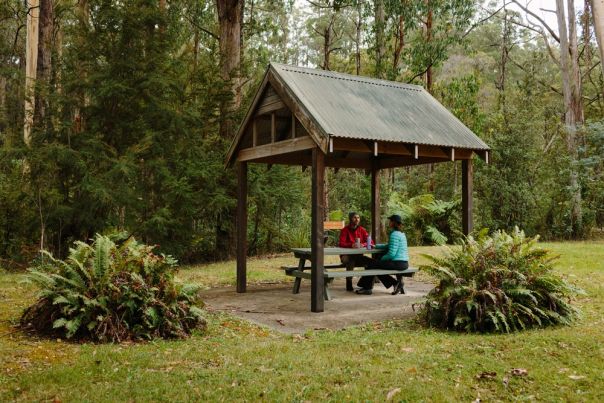
- Shelter along Reids Tramline
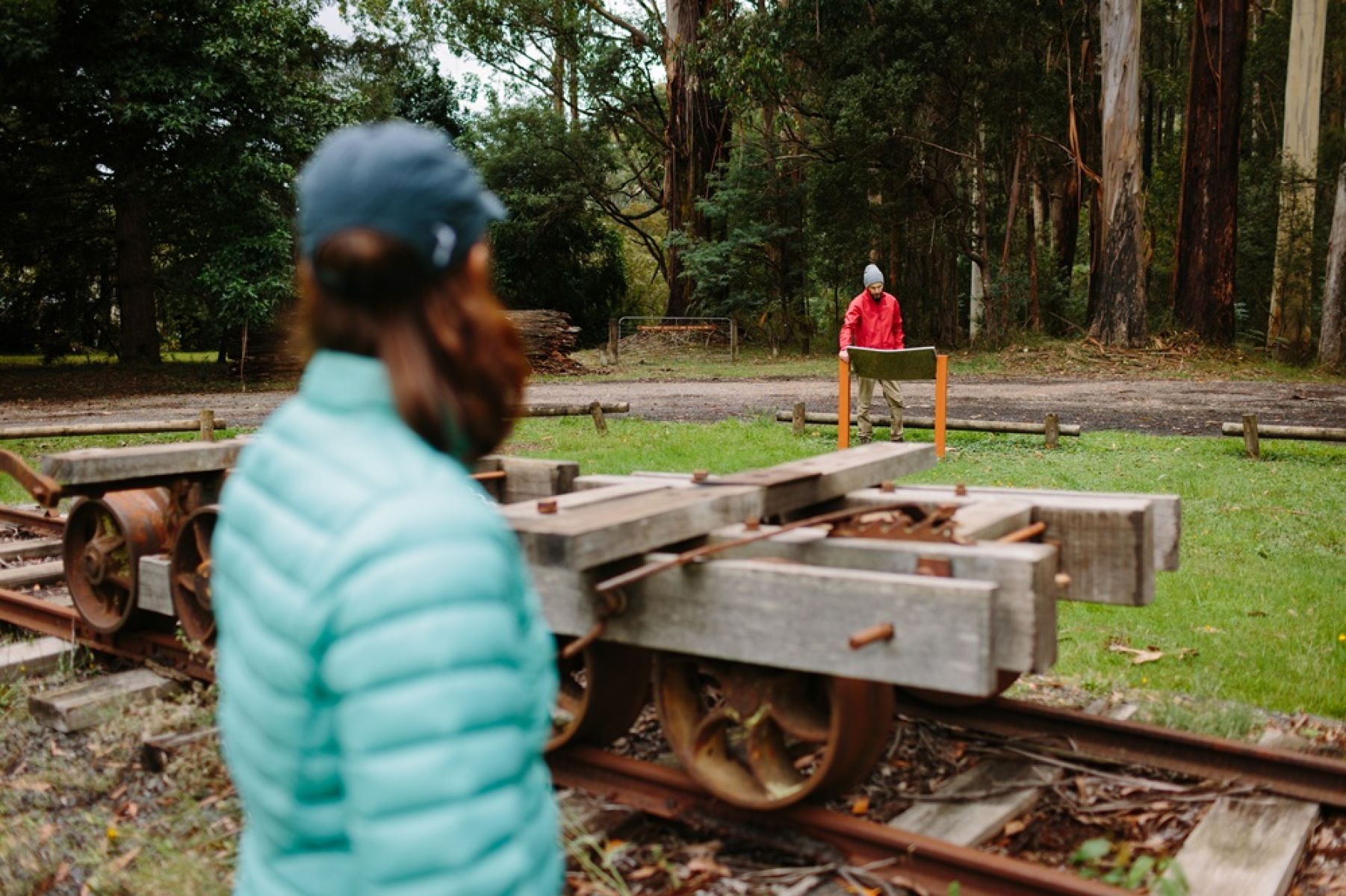
Historical sawmill relics
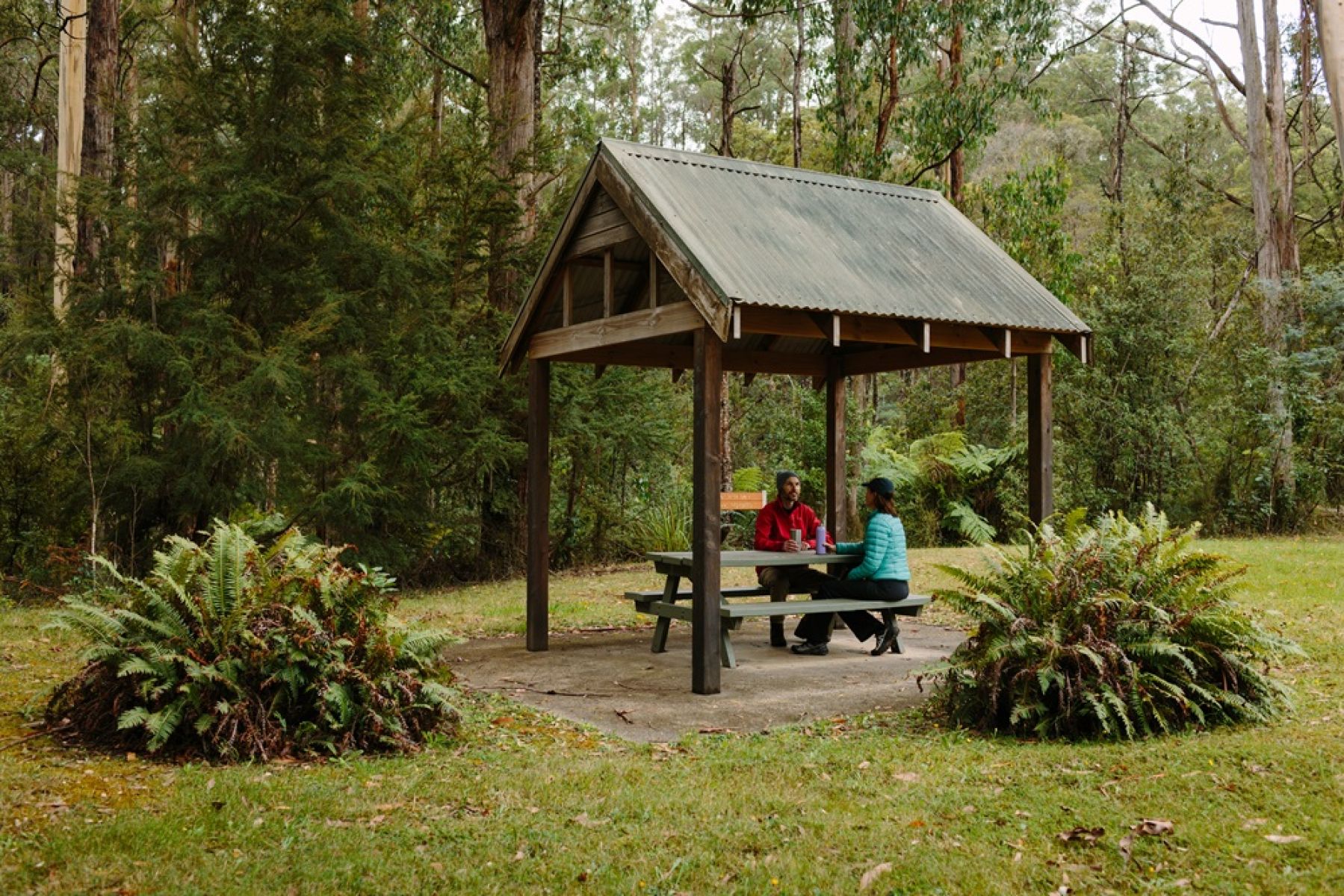
Shelter along Reids Tramline
Seven Acre Rock
Distance from Melbourne: About 2 hours east
Distance: 1.3km return
Walk difficulty: Grade 3 - No bushwalking experience required
What’s not to love about a hike that rewards with awe inspiring views? Winding through diverse forest landscape, from towering Mountain Ash to smaller woodland of Silver Wattle, this easy 1.3km walk leads to the rocky granite outcrop of Seven Acre Rock.
Enjoy a sweeping panorama of Bunyip State Park, and on clear days, you’ll be able to see all the way across to Western Port and Port Phillip bays!
Make sure you pack your picnic to enjoy at the spacious picnic area among the Mountain Ash.
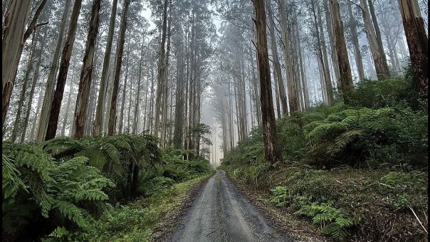
- Bunyip Road winds through lush forest on the way to the start of Seven Acre Rock
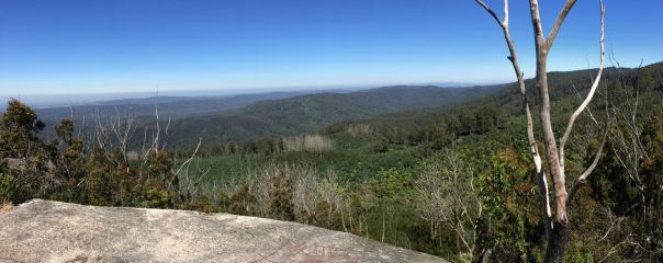
- Take in the panoramic views over Bunyip State Park
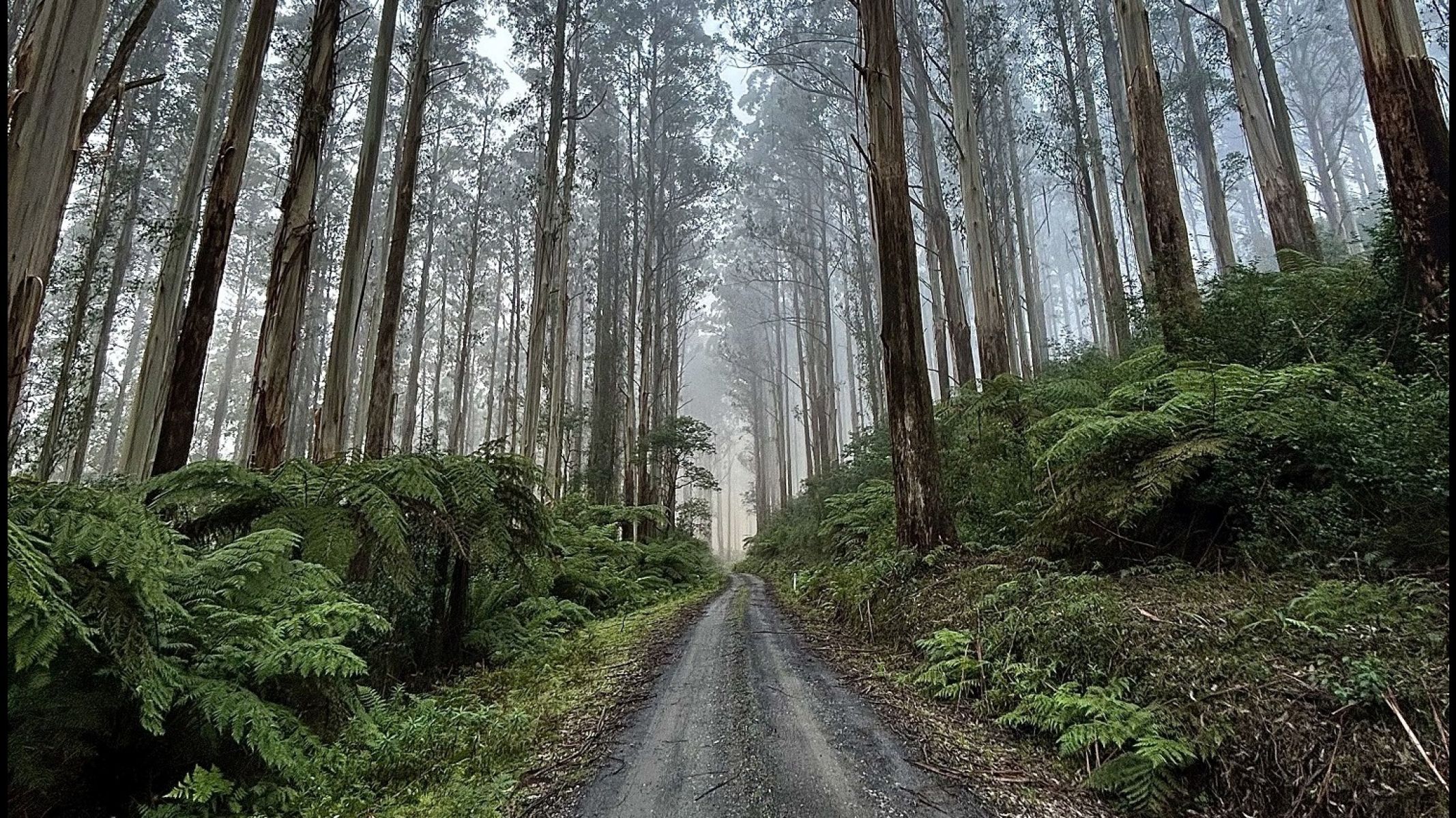
Bunyip Road winds through lush forest on the way to the start of Seven Acre Rock
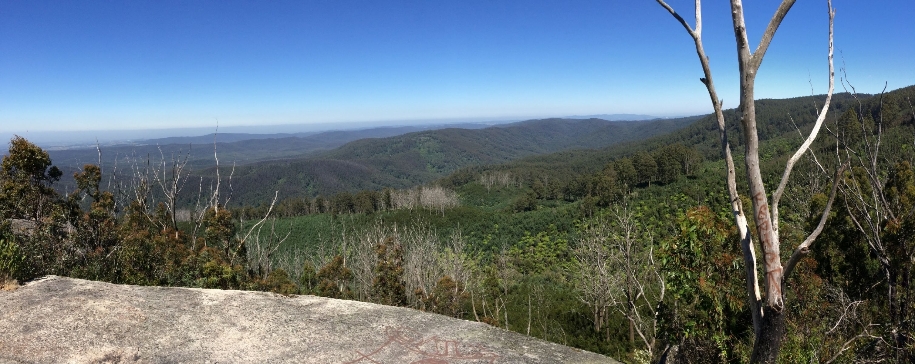
Take in the panoramic views over Bunyip State Park
Werribee River Walk
Distance from Melbourne: About 1.2 hours north-west
Location: Wombat State Forest on Wadawurrung and Wurundjeri Woi-Wurrung Country
Distance: 4.5km return
Walk difficulty: Grade 3 - Bushwalking experience required
Breathe in the fresh earthy scents of the eucalypt forest as you walk along the 4.5km Werribee River Walk. Sitting at the northern end of the Werribee River in the Wombat State Forest, it’s located 110km north-east from its namesake suburb.
Begin this walk from the Werribee River Picnic Area where you can enjoy picnic tables and wood fired barbeques or Carrolls Spring to the north.
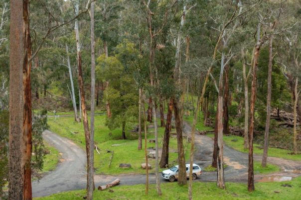
- This walk and picnic area are right by the Werribee River
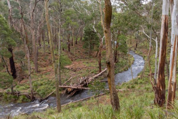
- This 4.5 km walk is suitable for those with some bushwalking experience
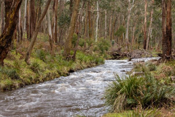
- The river winds through native forest
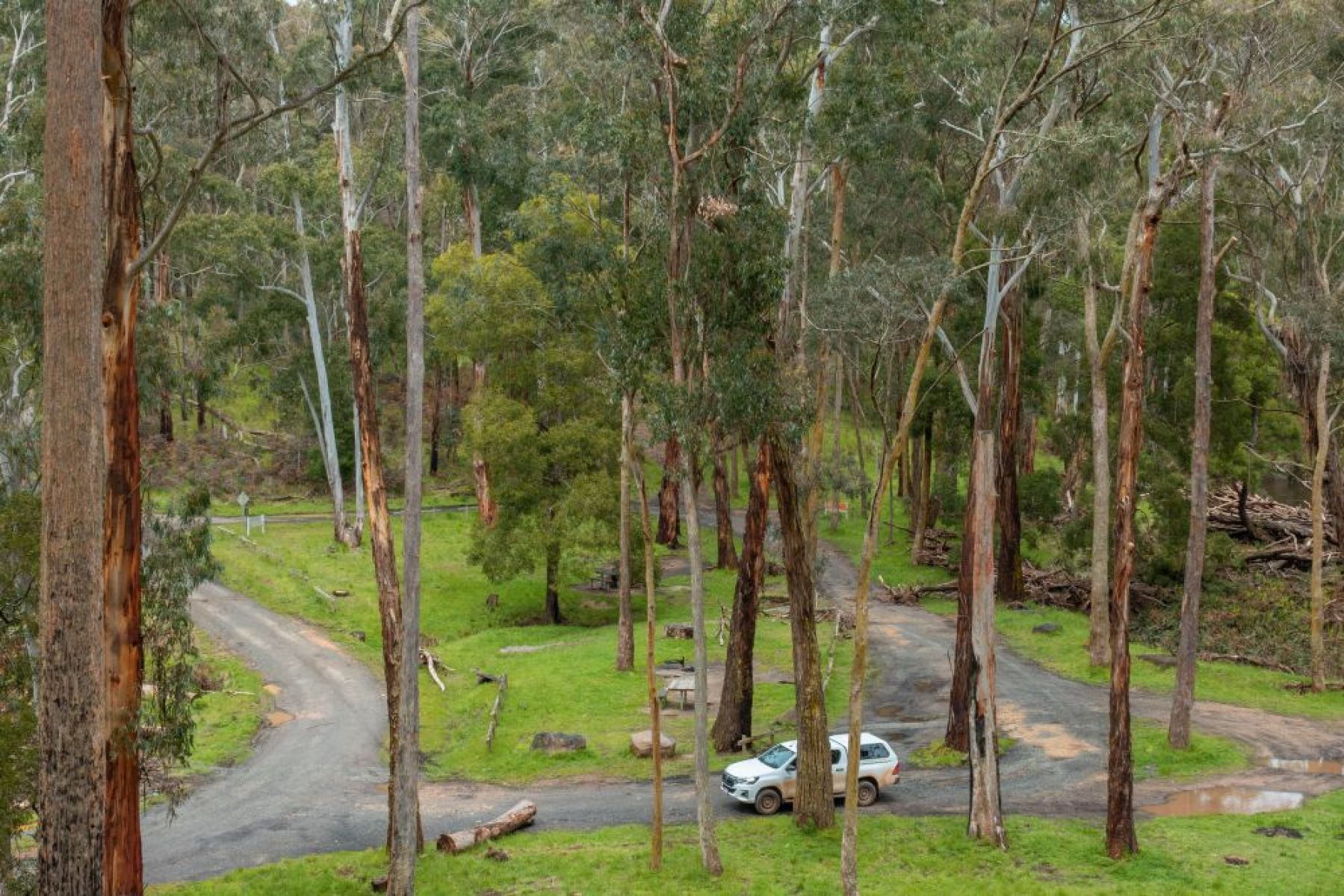
This walk and picnic area are right by the Werribee River
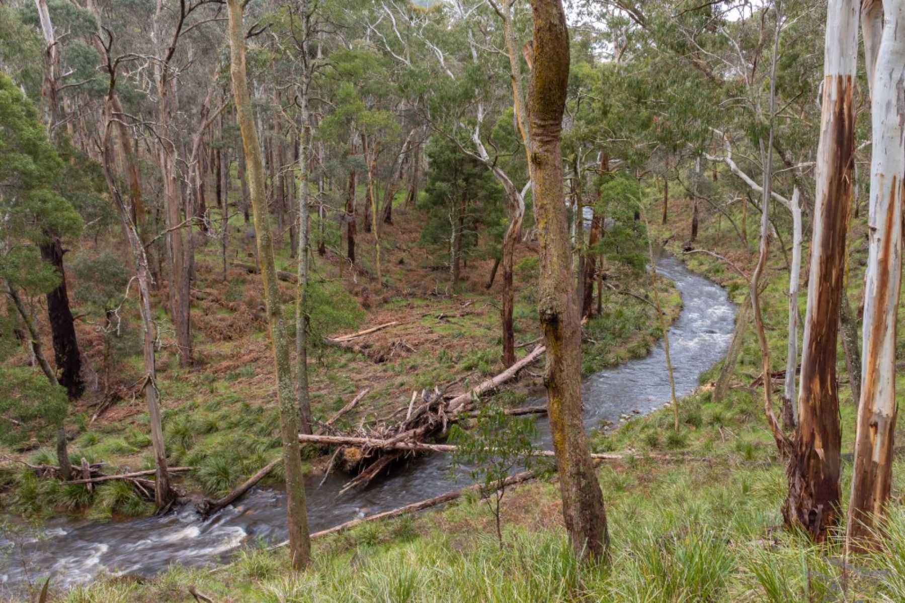
This 4.5 km walk is suitable for those with some bushwalking experience
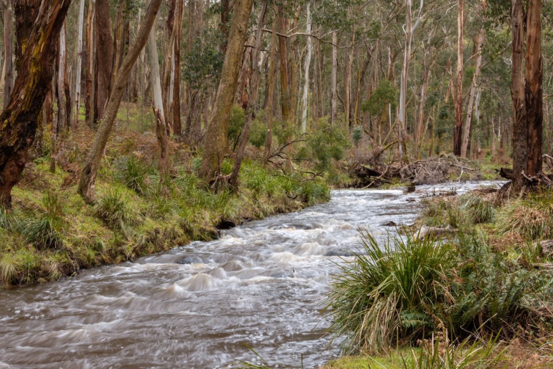
The river winds through native forest
Lerderderg Heritage River Walk
Distance from Melbourne: 1 hour, 10 minutes, north-west
Location: Wombat State Forest
Distance: 8.8km return
Walk difficulty: Grade 3 - Bushwalking experience recommended
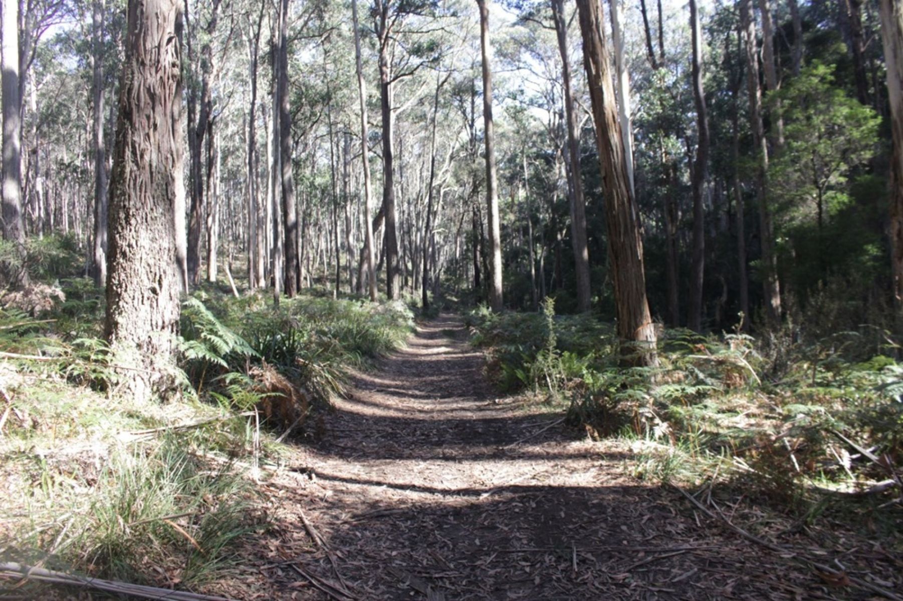
Located near Blackwood, the Lerderderg Heritage River Walk follows a short section of the longer 270km Great Dividing Trail. Wind through damp forest and ferny gullies with an overstory of Blackwoods and other mixed species eucalypts.
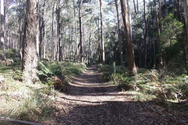
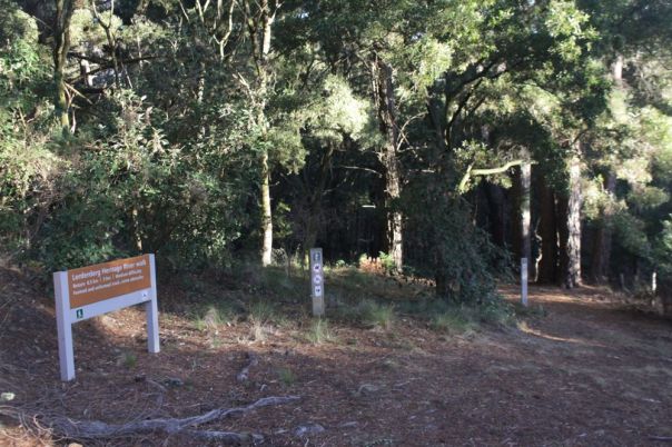
Lederderg-Heritage-River-Walk.jpg
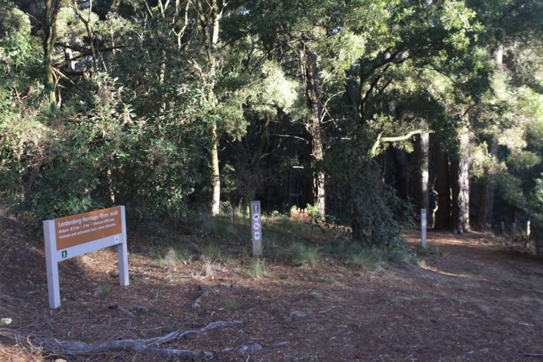
Lederderg-Heritage-River-Walk-2.jpg
Strath Creek Falls Walk
Distance from Melbourne: 1.5 hours north
Location: Mt Disappointment State Forest on Taungurung Country
Walk distance: 1km return
Walk difficulty: Grade 3 - No bushwalking experience required
Strath Creek Falls Walk has been popular with forest users for over 150 years. Starting from Strath Creek Picnic Area, this short, but steep walk will reward you with waterfall views overlooking the stunning Strath Creek Valley below.
Although these waterfalls are best viewed after heavy rain, this walk is well worth the journey at any time of year.
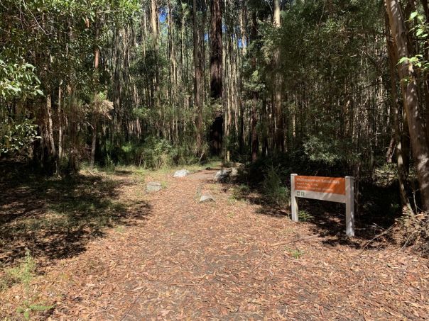
- Strath Creek Falls Walk is located in Mt Disappointment State Forest, 1.5 hours north of Melbourne.
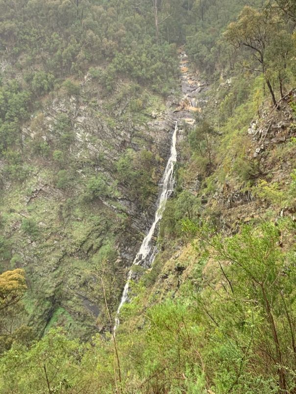
- Strath Creek Falls is one of Victoria's largest single-drop waterfalls
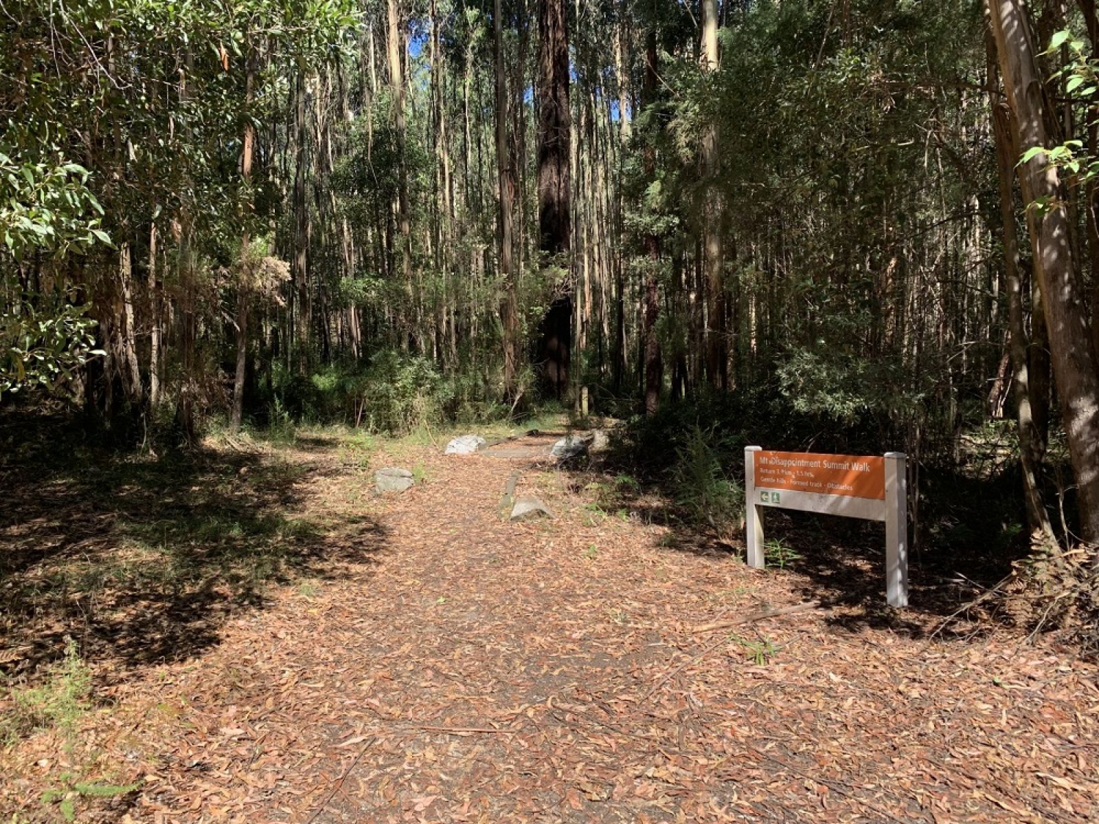
Strath Creek Falls Walk is located in Mt Disappointment State Forest, 1.5 hours north of Melbourne.
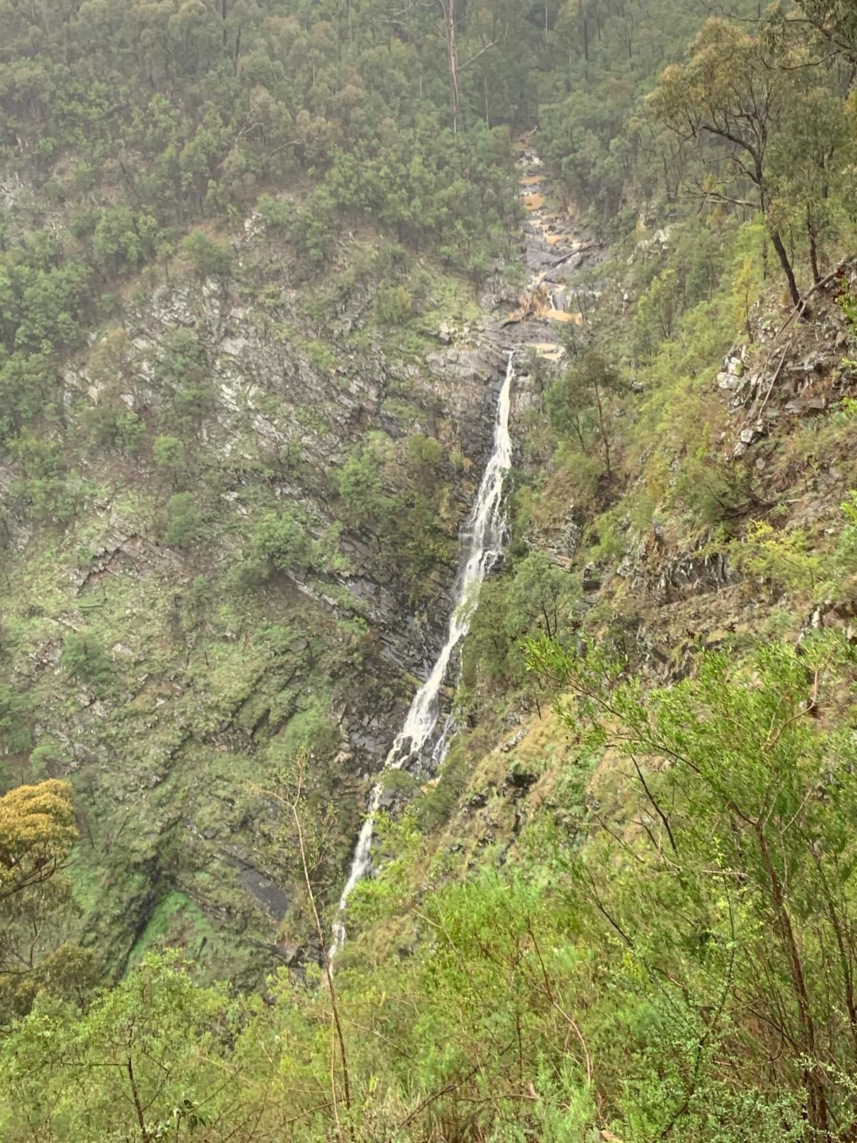
Strath Creek Falls is one of Victoria's largest single-drop waterfalls
Junction Walking Track
Distance from Melbourne: 1.5 hours north
Location: Fryers Range State Forest on Dja Dja Wurrung Country
Distance: 2.4km return
Walk difficulty: Grade 3 - Bushwalking experience required.
Nestled in the heart of the Victorian Goldfields Junction Walking Track is 7km out of Castlemaine. Once a busy route, used by Traditional Owners and later by European settlers traveling to Castlemaine from Melbourne, you'll see remains of old buildings and footings of the old bridge on the original road to Fryerstown.
Walk past beautiful forest of Red Stringybark, Red Box and Long-leaf Box trees, with sparse colourful shrub and native orchids.
The forest is home to many native animals, including kangaroos and wallabies, rich birdlife (including owls, parrots, honeyeaters and more), reptiles and frogs.
Pack a picnic to have at Railway Dam before or after your walk.
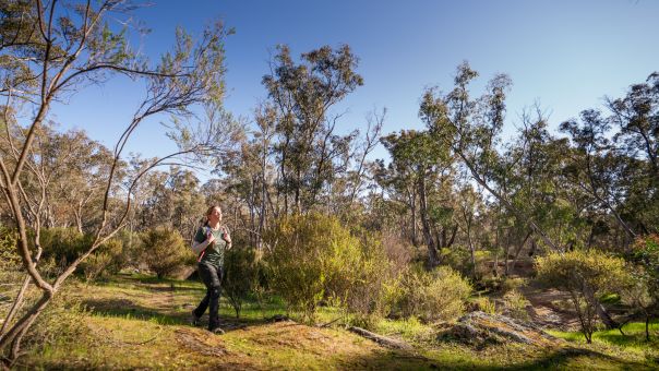
- This walks starts at the Railway Dam
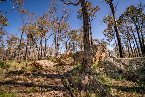
- Explore the natural beauty of this historic site
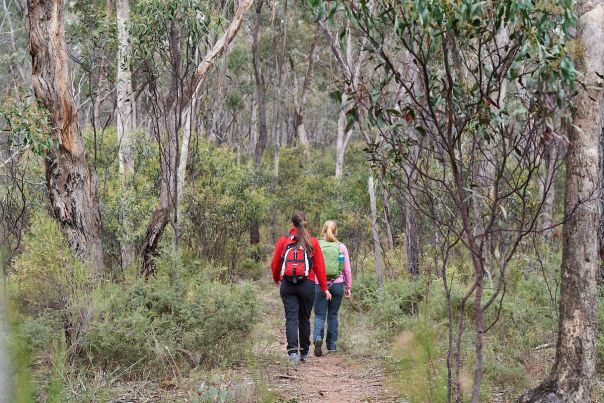
- This is an easy to follow 4.5km walk
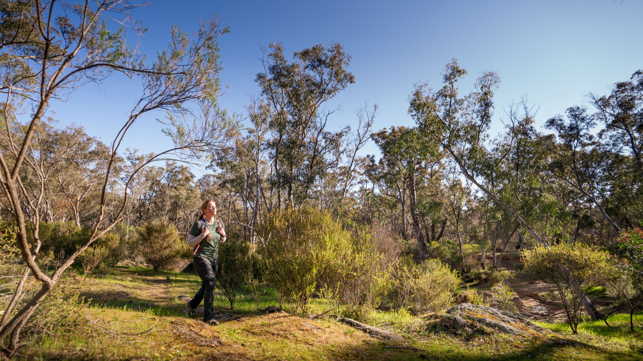
This walks starts at the Railway Dam
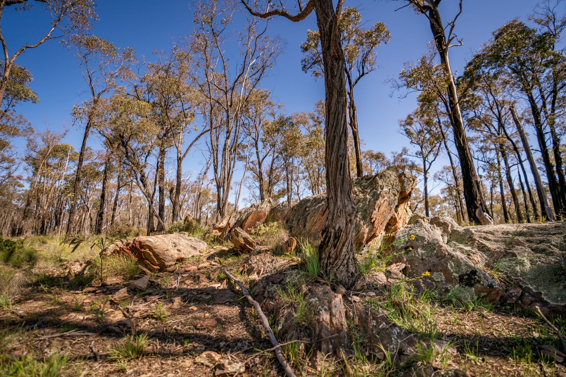
Explore the natural beauty of this historic site
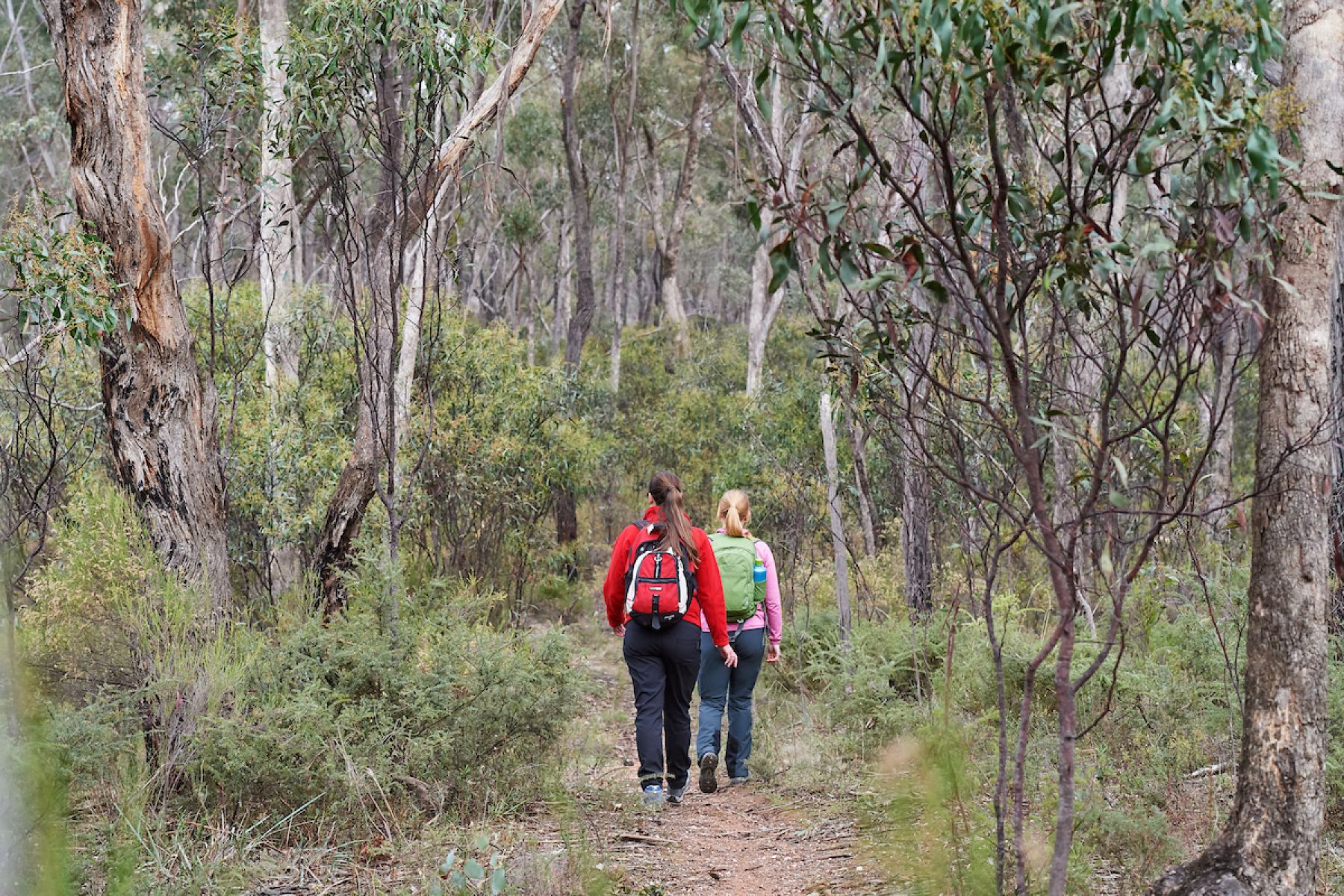
This is an easy to follow 4.5km walk
Staying for the weekend?
Visit Walking in Victoria to discover more state forest walking trails.
Download More to Explore to search for nearby campsites, 4WD tracks, mountain biking trails and more.
Planned burning
Before you go, stay informed about planned burns and always check VicEmergency for Fire Danger Ratings, Total Fire Bans, advice and warnings.
Page last updated: 12/05/26